

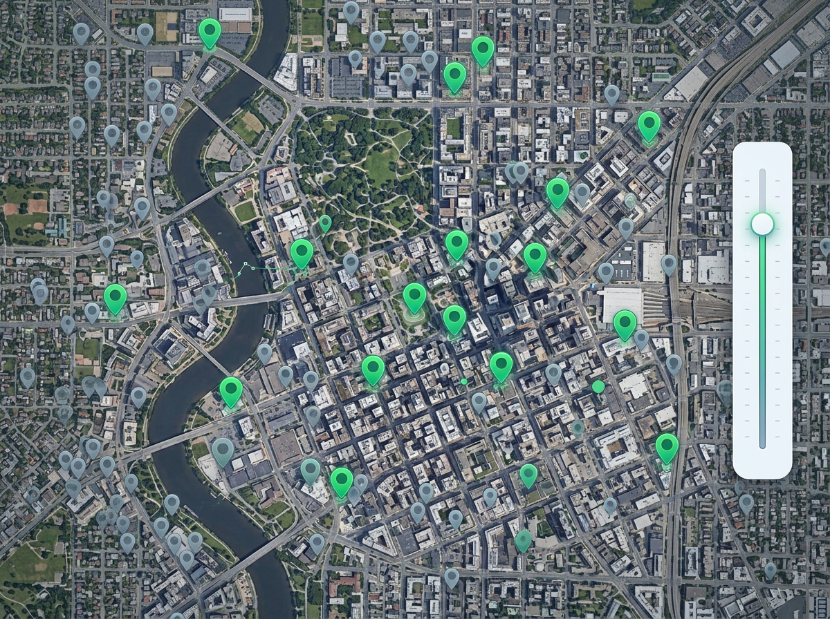
Show only top accounts
Hide low-value pins so reps focus on the accounts that matter this quarter. Flip the filter to see the long tail when you need it.

 English
 Español
 Français
 Deutsch
 Português
 日本語
 中文
 العربية
 한국어
 Italiano
 Русский
 Türkçe
 Nederlands
 Polski
 हिन्दी
 Dansk
 Čeština
 Română
 Ελληνικά
 Tiếng Việt
 Suomi
 Українська
 Indonesia
 Svenska
 Norsk bokmål
 Hrvatski
 Magyar
 Български
 中文(繁體)
 Slovenčina
 Srpski
 ไทย
 Eesti
 Català
 Lietuvių
 עברית
 Slovenščina
 فارسی
 Latviešu
 Azərbaycan
 Беларуская
 Melayu
 Bosanski
 ქართული
 Shqip
 Gaeilge
 Монгол
 ဗမာ
 O‘zbek
 اُردو
 Македонски
 ខ្មែរ
 Nynorsk
 বাংলা
 Galego
 Euskara
 Íslenska
 தமிழ்
 ລາວ
 ગુજરાતી
 Latina
 मराठी
 Қазақ тілі
 ਪੰਜਾਬੀ
 Afrikaans
 नेपाली
 አማርኛ
 తెలుగు
 ChiShona
 Cymraeg
 Føroyskt
 অসমীয়া
 Brezhoneg
 Esperanto
 Basa Jawa
 کٲشُر
 Ирон
 Sardu
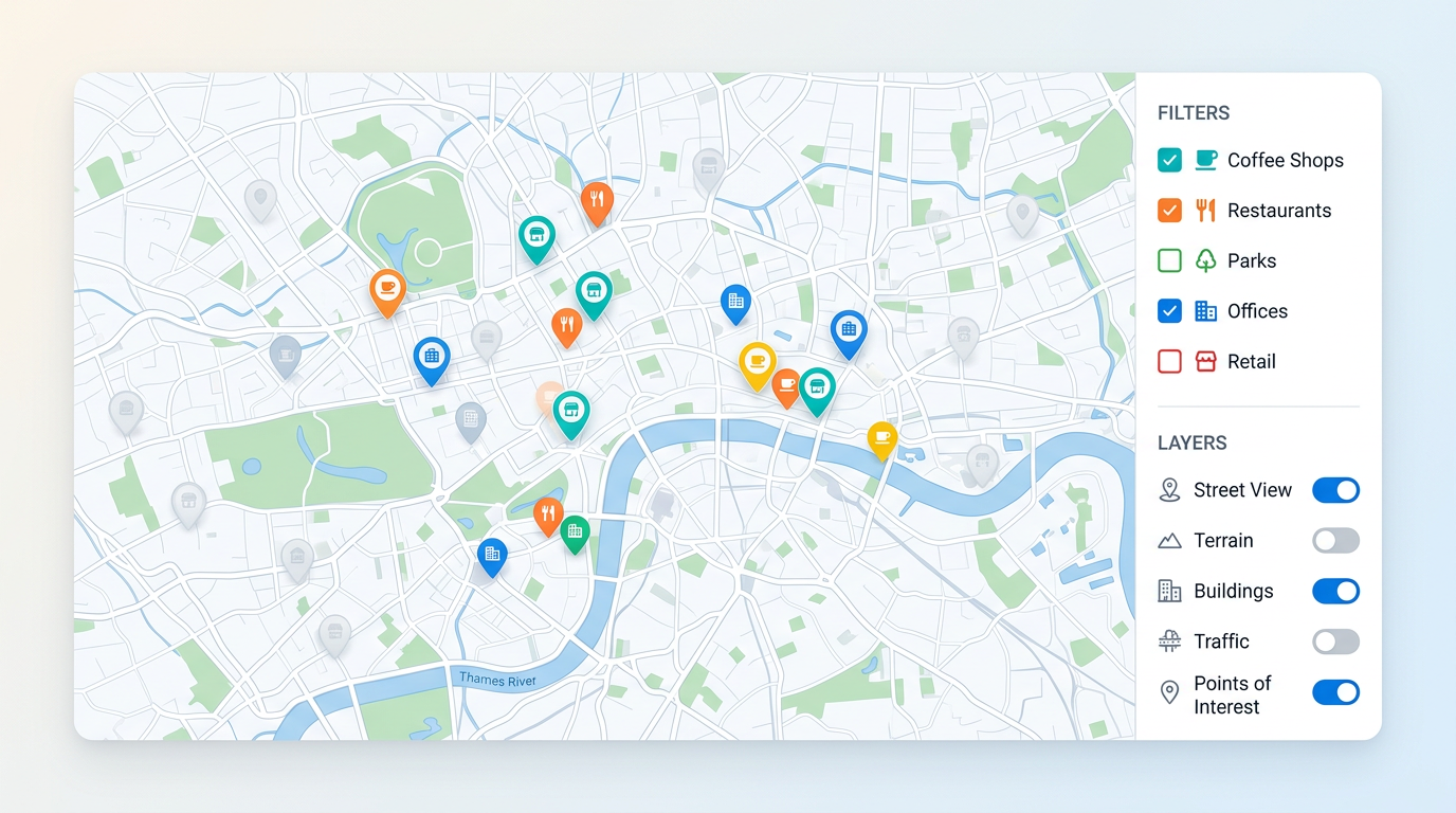
A busy map can hide the answer. Toggle layers on and off, hide pins by status, type, or value, and let viewers slice the map themselves with simple controls.
★ ★ ★ ★ ★“Ability to share a viewable custom map with a search feature and ability for viewers to hide and unhide various polygons is ultimately huge.”
Filter pins by status, type, owner, value, or date. Use checkboxes, ranges, or a search box. Set the filters once and viewers get the same controls.
Stack pins, regions, and shapes as separate layers. Viewers turn each one on and off without editing the map. Show what they need, hide the rest.
Add a search box so viewers can jump to a pin or place by name. Great for big maps where pan and zoom alone takes too long.
Hide low-value pins so reps focus on the accounts that matter this quarter. Flip the filter to see the long tail when you need it.
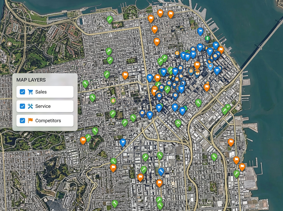
Build one map for everyone. Add layers for sales, service, and competitors. Each viewer turns on the layers they care about and ignores the rest.
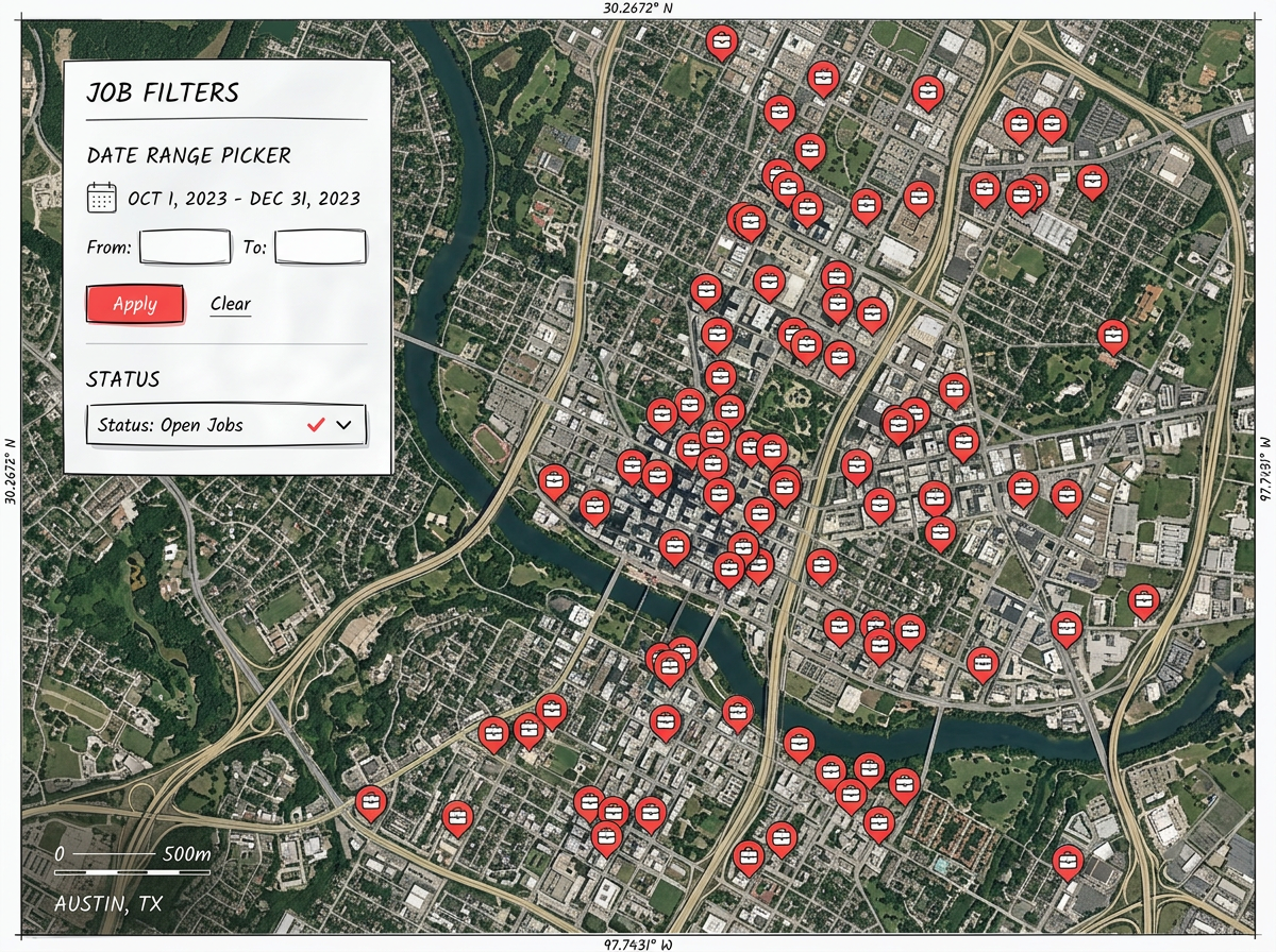
Show only open jobs. Show only sites visited last month. A clean filter beats scrolling through every pin and helps the team move faster.
Scribble AI
告訴Scribble AI您需要什麼。試試「在每個地點周圍繪製500m緩衝區」、「匯入此CSV並依狀態著色」或「測量從倉庫到每個停靠點的路線」。幾秒鐘就能完成。無需GIS訓練,您的團隊也能取得同一張可直接分享的地圖。
試用Scribble AI →Map filtering means hiding parts of a map so the rest is easier to read. You can hide pins, layers, or shapes by any column from your data, like status, type, or value.
Yes. You can give viewers checkboxes, range sliders, and toggle controls. They change what shows on the map without being able to edit it.
Yes. Save the filters and layers a viewer sees first. They can change them on their end if they want a different view.
Yes. The filter and layer controls work in any modern browser, on phones, tablets, and laptops.