

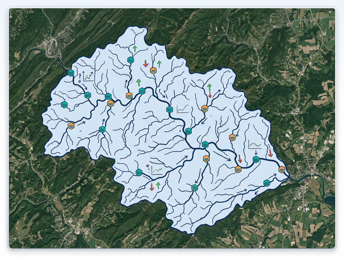
Watershed and stream mapping
Draw watershed boundaries, plot stream segments and mark monitoring stations for coalition meetings and grant applications.

 English
 Español
 Français
 Deutsch
 Português
 日本語
 中文
 العربية
 한국어
 Italiano
 Русский
 Türkçe
 Nederlands
 Polski
 हिन्दी
 Dansk
 Čeština
 Română
 Ελληνικά
 Tiếng Việt
 Suomi
 Українська
 Indonesia
 Svenska
 Norsk bokmål
 Hrvatski
 Magyar
 Български
 中文(繁體)
 Slovenčina
 Srpski
 ไทย
 Eesti
 Català
 Lietuvių
 עברית
 Slovenščina
 فارسی
 Latviešu
 Azərbaycan
 Беларуская
 Melayu
 Bosanski
 ქართული
 Shqip
 Gaeilge
 Монгол
 ဗမာ
 O‘zbek
 اُردو
 Македонски
 ខ្មែរ
 Nynorsk
 বাংলা
 Galego
 Euskara
 Íslenska
 தமிழ்
 ລາວ
 ગુજરાતી
 Latina
 मराठी
 Қазақ тілі
 ਪੰਜਾਬੀ
 Afrikaans
 नेपाली
 አማርኛ
 తెలుగు
 ChiShona
 Cymraeg
 Føroyskt
 অসমীয়া
 Brezhoneg
 Esperanto
 Basa Jawa
 کٲشُر
 Ирон
 Sardu
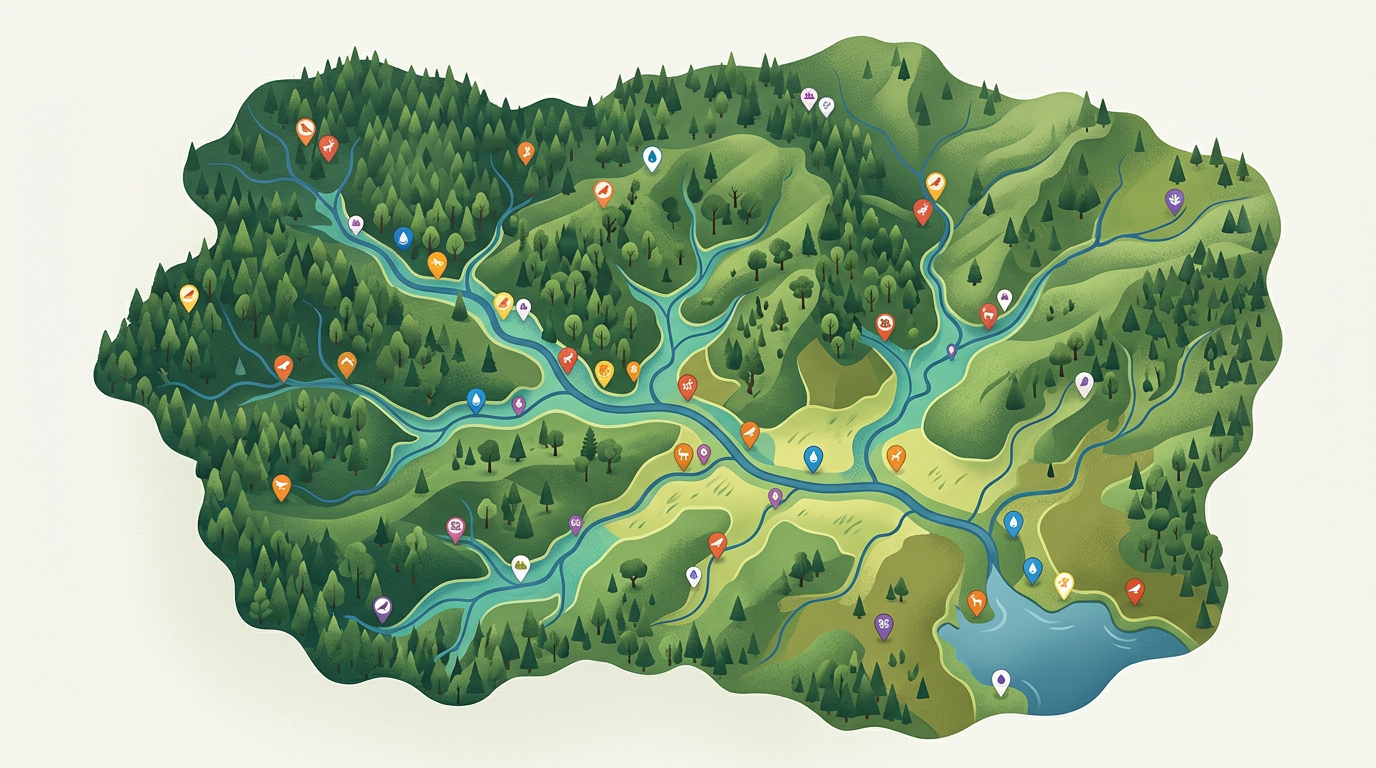
Map watersheds, plot habitat surveys, run citizen-science projects and build advocacy maps. Free for individuals and small teams who want to make conservation visible.
 4.7 / 5 · G2上有 200 則評論
★ ★ ★ ★ ★“It has tools that are very easy to navigate. There are tutorials that you can access on helping to use the maps. I am finding it very useful in what I need it for.”
Sketch habitat polygons, watershed boundaries and survey routes on real satellite imagery. No GIS training required.
Send a clickable conservation map to volunteers, donors or board members. They open it in a browser. No install.
Import a CSV of survey points, KML of existing reserves or GeoJSON of public datasets. Layer it all on one shared map.
Draw watershed boundaries, plot stream segments and mark monitoring stations for coalition meetings and grant applications.
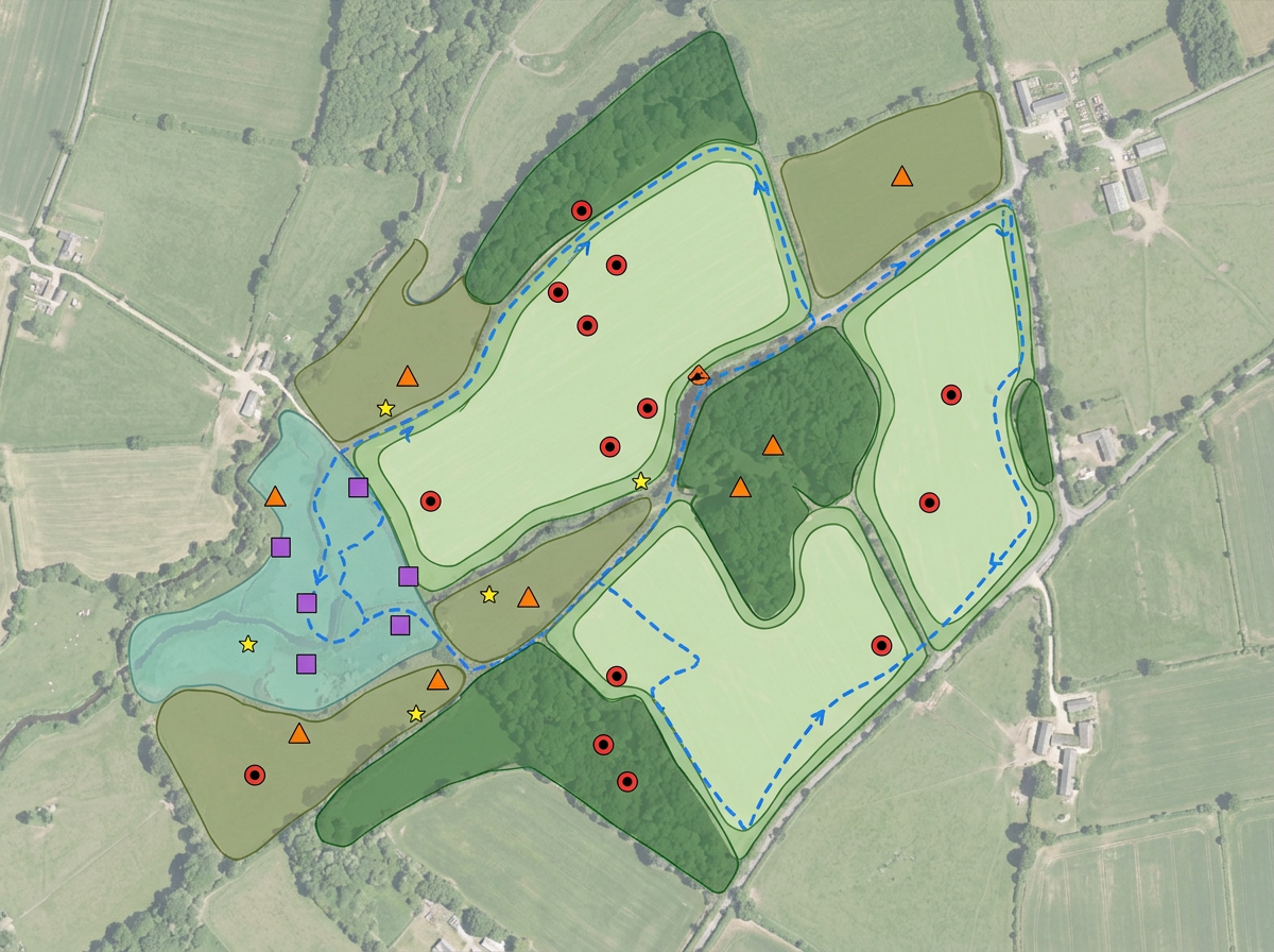
Plot species observations, mark habitat polygons and share with volunteer surveyors and partner organizations.
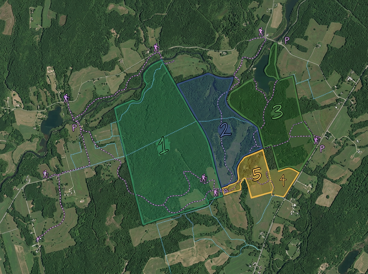
Map preserves, easements and conservation lands. Share with donors, members and partner agencies.
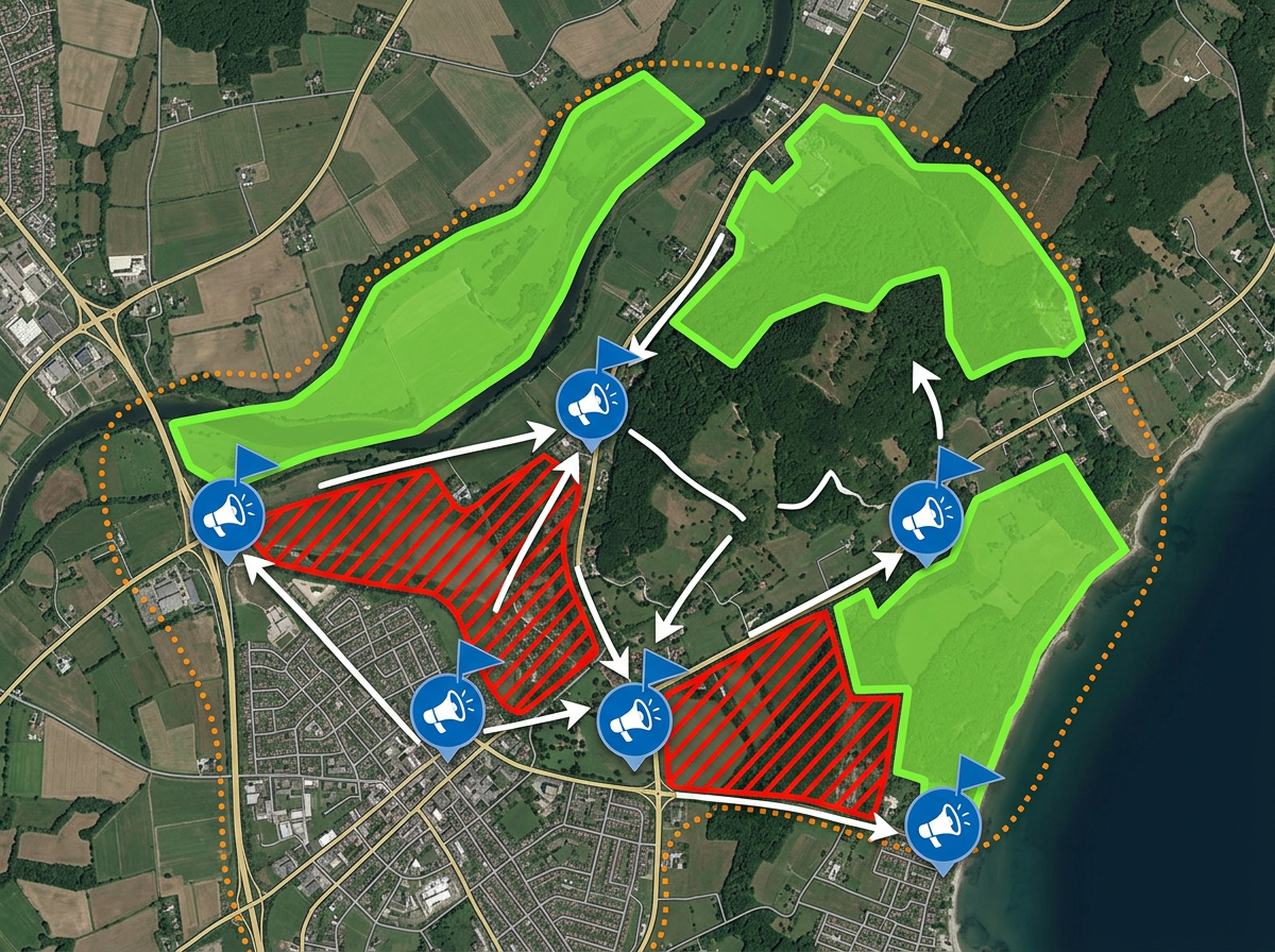
Build advocacy maps for permitting decisions, public hearings and donor briefings. Publish on your campaign website.
Scribble AI
告訴Scribble AI您需要什麼。試試「在每個地點周圍繪製500m緩衝區」、「匯入此CSV並依狀態著色」或「測量從倉庫到每個停靠點的路線」。幾秒鐘就能完成。無需GIS訓練,您的團隊也能取得同一張可直接分享的地圖。
試用Scribble AI →★ ★ ★ ★ ★“It has tools that are very easy to navigate. I am finding it very useful in what I need it for.”
★ ★ ★ ★ ★“Back in the day with paper maps, I always enjoyed marking places I'd explored on bike or on foot with a highlighter pen. I'd never found a similar system for online maps till I found this site.”
Yes. Scribble Maps is free for individuals and small teams. See the pricing page for larger imports, private maps and advanced tools.
Yes. Paste from a spreadsheet or import a CSV. Every observation geocodes onto the map in one pass.
Yes. Generate an embed code and paste it into your conservation site. Visitors can pan, zoom and toggle layers without leaving the page.
Yes. Click Share, copy the link and text it to the team. They open it on a phone. No install, no account.