

Service area and coverage maps
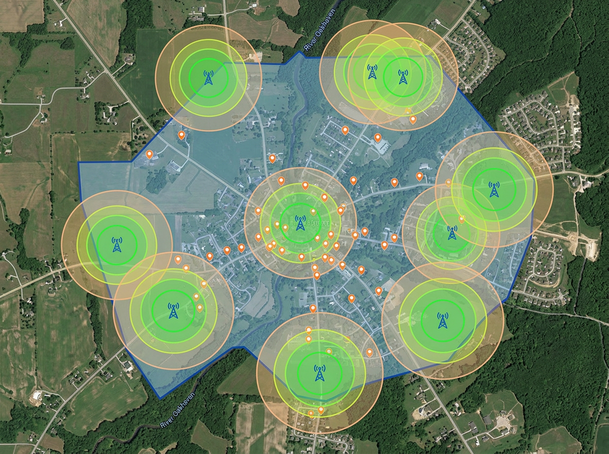
Draw your service footprint and tower coverage rings. Share with prospects, regulators and partner ISPs.

 English
 Español
 Français
 Deutsch
 Português
 日本語
 中文
 العربية
 한국어
 Italiano
 Русский
 Türkçe
 Nederlands
 Polski
 हिन्दी
 Dansk
 Čeština
 Română
 Ελληνικά
 Tiếng Việt
 Suomi
 Українська
 Indonesia
 Svenska
 Norsk bokmål
 Hrvatski
 Magyar
 Български
 中文(繁體)
 Slovenčina
 Srpski
 ไทย
 Eesti
 Català
 Lietuvių
 עברית
 Slovenščina
 فارسی
 Latviešu
 Azərbaycan
 Беларуская
 Melayu
 Bosanski
 ქართული
 Shqip
 Gaeilge
 Монгол
 ဗမာ
 O‘zbek
 اُردو
 Македонски
 ខ្មែរ
 Nynorsk
 বাংলা
 Galego
 Euskara
 Íslenska
 தமிழ்
 ລາວ
 ગુજરાતી
 Latina
 मराठी
 Қазақ тілі
 ਪੰਜਾਬੀ
 Afrikaans
 नेपाली
 አማርኛ
 తెలుగు
 ChiShona
 Cymraeg
 Føroyskt
 অসমীয়া
 Brezhoneg
 Esperanto
 Basa Jawa
 کٲشُر
 Ирон
 Sardu
Map service areas, plan tower coverage, sketch fiber routes and brief installers. Built for WISPs, fiber contractors and MDU installers who don't run a carrier-grade GIS.
 4.7 / 5 · G2上有 200 則評論
★ ★ ★ ★ ★“Finding the locations and information before making a site visit. I can plan the route since the area is usually inhabited and inaccessible by standard transportation. Scribble Maps uses Google Maps as the base map, which is a perfect choice as users are already familiar with Google Maps' properties and layout. It decreases the learning curve by far.”
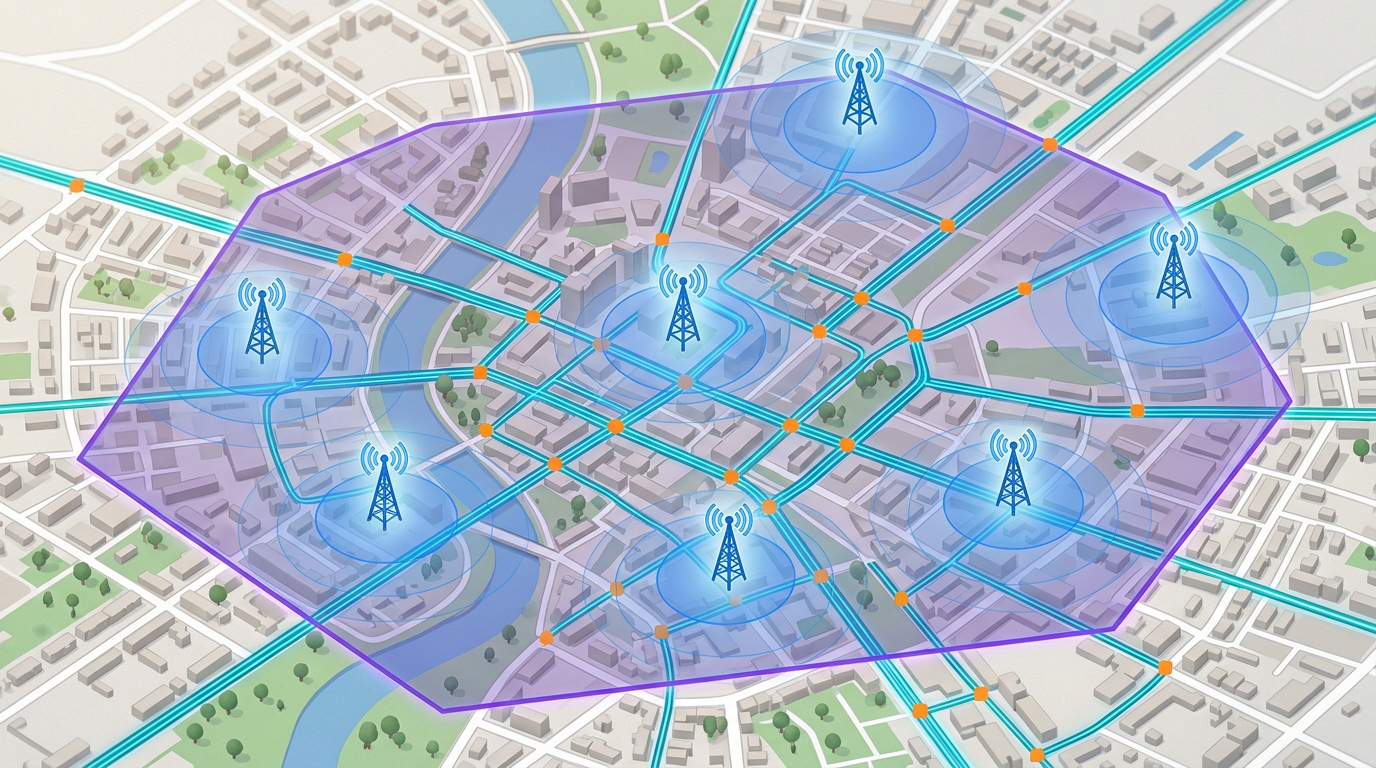
Draw tower coverage rings, fiber routes and service area boundaries on a real satellite view. No carrier-grade GIS deployment required.
Send the day's build map to the field crew. They open it on a phone. No app, no install, no friction.
Import KML, Shapefile, GeoJSON and GPX of existing fiber routes, towers and splice points. Layer it all on one map.
Draw your service footprint and tower coverage rings. Share with prospects, regulators and partner ISPs.
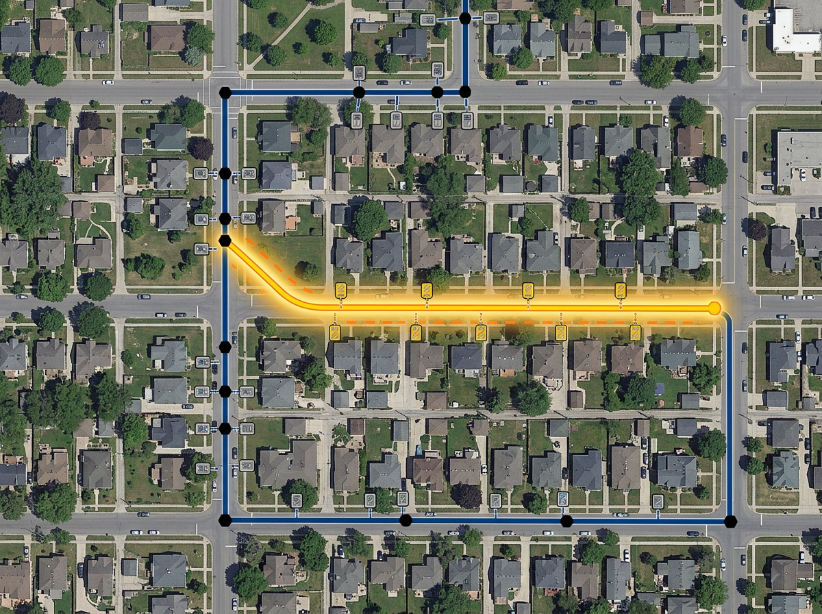
Sketch fiber routes along streets, mark splice points and pedestals, and brief the build crew with a clickable map.
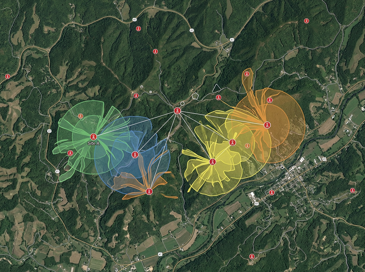
Drop candidate tower sites, draw line-of-sight buffers and compare against terrain on hybrid imagery.
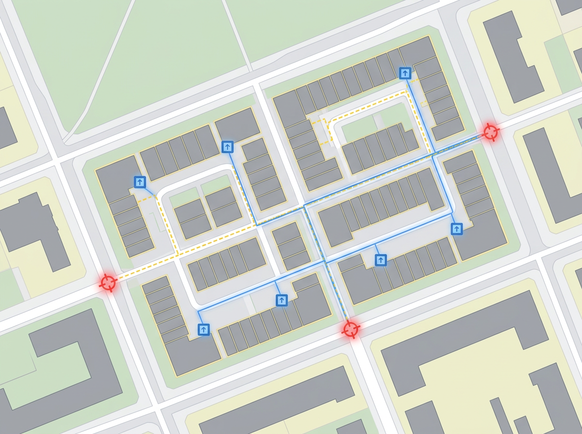
Map every unit, riser and demarc point in an MDU build for the install crew and the property owner.
Scribble AI
告訴Scribble AI您需要什麼。試試「在每個地點周圍繪製500m緩衝區」、「匯入此CSV並依狀態著色」或「測量從倉庫到每個停靠點的路線」。幾秒鐘就能完成。無需GIS訓練,您的團隊也能取得同一張可直接分享的地圖。
試用Scribble AI →★ ★ ★ ★ ★“Finding the locations and information before making a site visit. I can plan the route since the area is usually inhabited and inaccessible by standard transportation.”
★ ★ ★ ★ ★“User-friendly website interface and ease of use.”
Yes. Generate an embed code and paste it into your website. Prospects can pan, zoom and check coverage without leaving the page.
Yes. Import KML, Shapefile, GeoJSON or GPX. Existing routes layer onto satellite imagery for re-use and re-share.
Yes. Click Share, copy the link and text it to the crew. They open it in any mobile browser. No install.
Yes. Drop a tower marker, set a radius and the buffer is drawn. Switch to terrain or satellite to compare against landscape.