

Quoting from the office
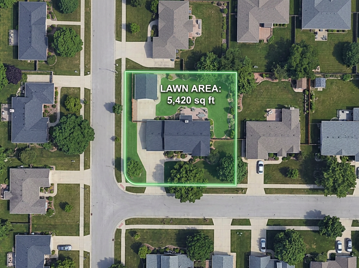
Measure a lawn or hardscape area from the satellite view in under a minute and send a quote without driving the property.

 English
 Español
 Français
 Deutsch
 Português
 日本語
 中文
 العربية
 한국어
 Italiano
 Русский
 Türkçe
 Nederlands
 Polski
 हिन्दी
 Dansk
 Čeština
 Română
 Ελληνικά
 Tiếng Việt
 Suomi
 Українська
 Indonesia
 Svenska
 Norsk bokmål
 Hrvatski
 Magyar
 Български
 中文(繁體)
 Slovenčina
 Srpski
 ไทย
 Eesti
 Català
 Lietuvių
 עברית
 Slovenščina
 فارسی
 Latviešu
 Azərbaycan
 Беларуская
 Melayu
 Bosanski
 ქართული
 Shqip
 Gaeilge
 Монгол
 ဗမာ
 O‘zbek
 اُردو
 Македонски
 ខ្មែរ
 Nynorsk
 বাংলা
 Galego
 Euskara
 Íslenska
 தமிழ்
 ລາວ
 ગુજરાતી
 Latina
 मराठी
 Қазақ тілі
 ਪੰਜਾਬੀ
 Afrikaans
 नेपाली
 አማርኛ
 తెలుగు
 ChiShona
 Cymraeg
 Føroyskt
 অসমীয়া
 Brezhoneg
 Esperanto
 Basa Jawa
 کٲشُر
 Ирон
 Sardu
Measure square footage, draw mow zones, build optimized routes, and send a map to every truck.
 4.7 / 5 · G2上有 200 則評論
★ ★ ★ ★ ★“Easy to use to plan field layouts for planting new orchards on slopes.”
Trace a lawn, garden bed or driveway directly on satellite imagery and read off square feet, acres or perimeter.
Build the day's stops, optimize the order, and send a clickable link the foreman opens on a phone.
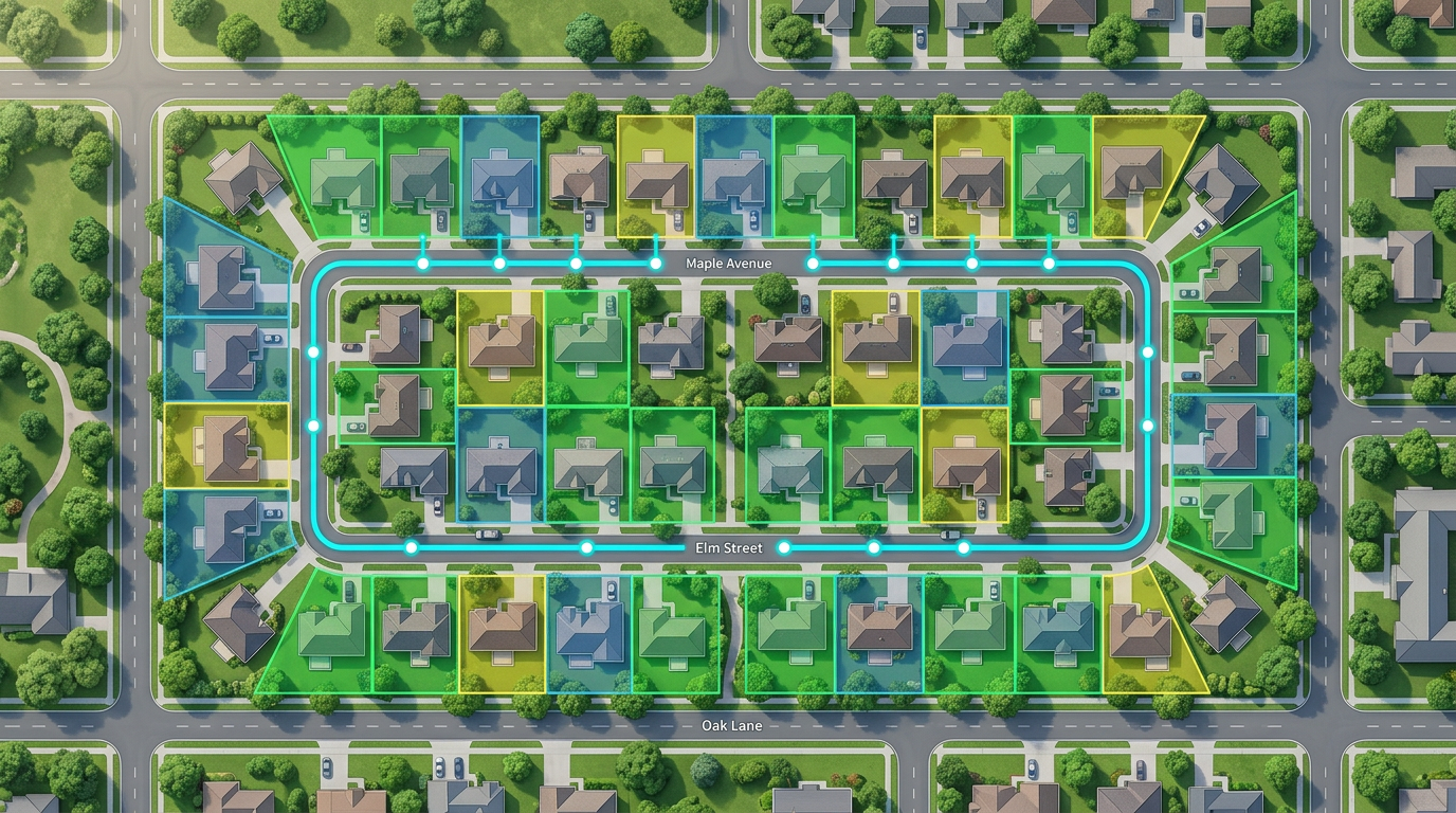
Paste a customer spreadsheet and watch every address drop on the map. Color-code by service type, frequency or status.
Measure a lawn or hardscape area from the satellite view in under a minute and send a quote without driving the property.
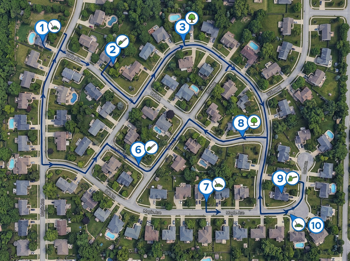
Drop the day's stops, run route optimization, and share a clickable map with the truck.
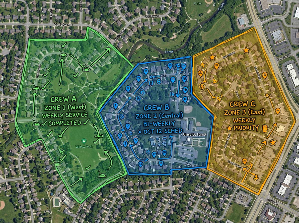
Color-code each crew's territory so two trucks never end up at the same property.
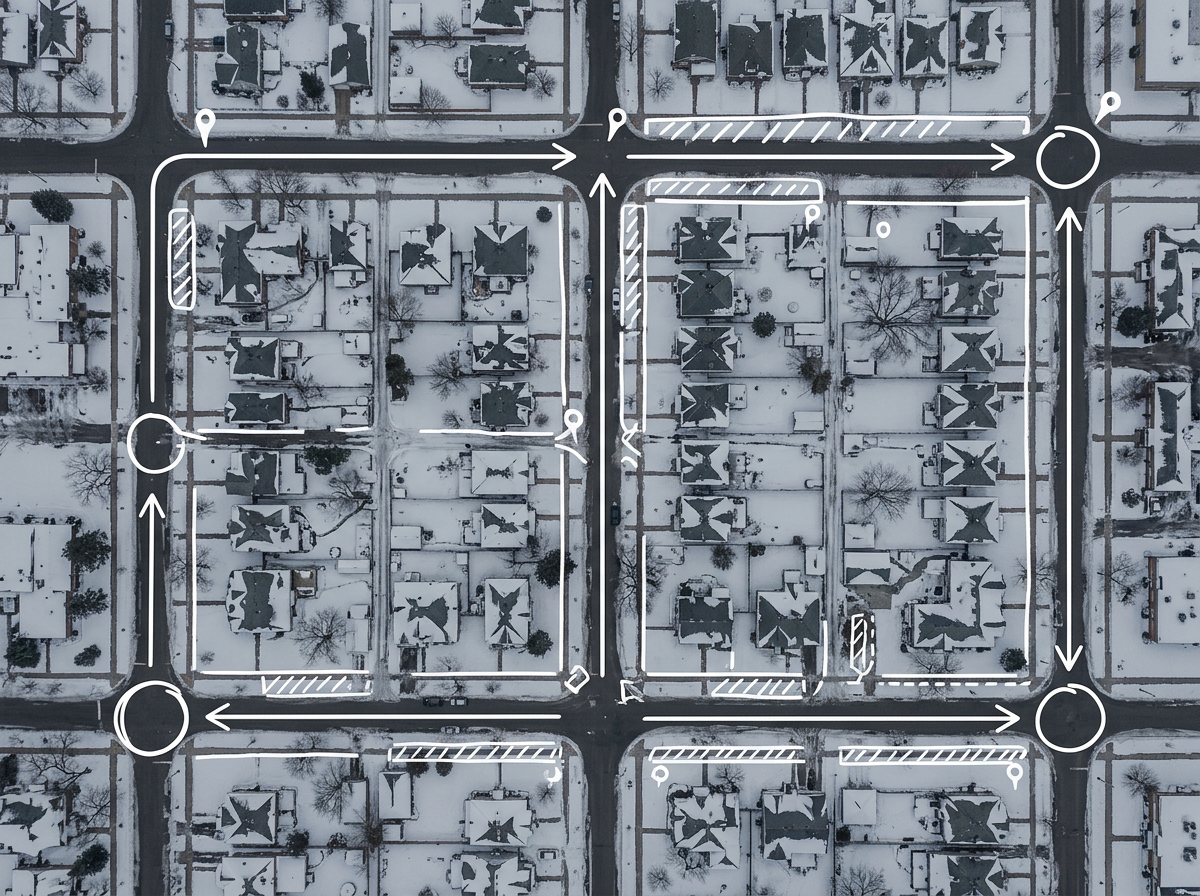
Switch between summer and winter route maps for the same customer base without rebuilding from scratch.
Scribble AI
告訴Scribble AI您需要什麼。試試「在每個地點周圍繪製500m緩衝區」、「匯入此CSV並依狀態著色」或「測量從倉庫到每個停靠點的路線」。幾秒鐘就能完成。無需GIS訓練,您的團隊也能取得同一張可直接分享的地圖。
試用Scribble AI →★ ★ ★ ★ ★“Easy to use to plan field layouts for planting new orchards on slopes.”
★ ★ ★ ★ ★“I can highlight areas, buildings, etc and measure for jobs that may be out of town, or even out of state.”
Scribble Maps uses high-resolution satellite imagery and reports area in your chosen unit. For hard-to-see edges, switch to terrain or hybrid view to verify.
Yes. Click Share, copy the link and text it. The foreman opens it in any mobile browser. No app required.
Export it to CSV and import. Every address geocodes onto the map and you can style by any column.
Free to start. Paid options add unlimited maps, larger uploads and admin controls. See the pricing page for details.