

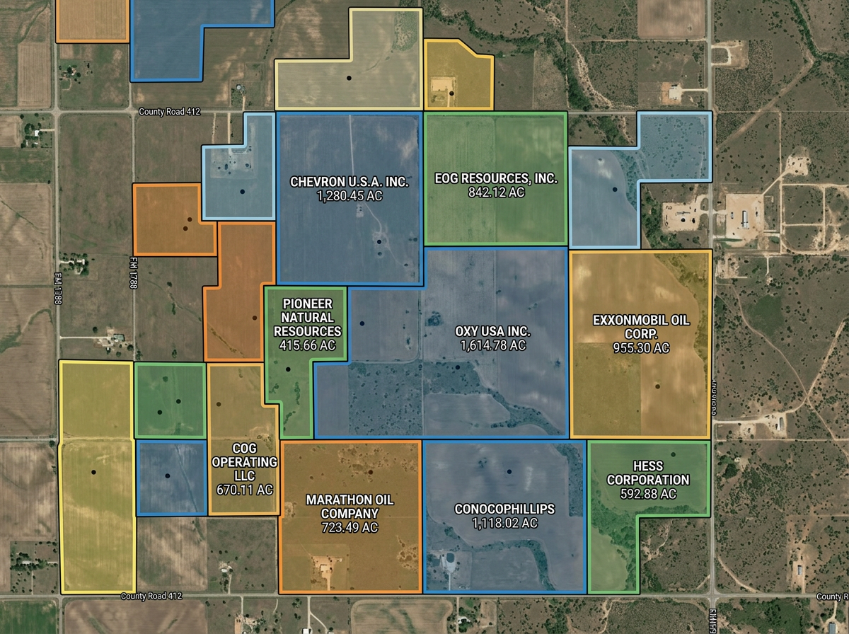
Lease and parcel maps
Draw lease blocks, parcel boundaries and ownership outlines for landmen, attorneys and operators.

 English
 Español
 Français
 Deutsch
 Português
 日本語
 中文
 العربية
 한국어
 Italiano
 Русский
 Türkçe
 Nederlands
 Polski
 हिन्दी
 Dansk
 Čeština
 Română
 Ελληνικά
 Tiếng Việt
 Suomi
 Українська
 Indonesia
 Svenska
 Norsk bokmål
 Hrvatski
 Magyar
 Български
 中文(繁體)
 Slovenčina
 Srpski
 ไทย
 Eesti
 Català
 Lietuvių
 עברית
 Slovenščina
 فارسی
 Latviešu
 Azərbaycan
 Беларуская
 Melayu
 Bosanski
 ქართული
 Shqip
 Gaeilge
 Монгол
 ဗမာ
 O‘zbek
 اُردو
 Македонски
 ខ្មែរ
 Nynorsk
 বাংলা
 Galego
 Euskara
 Íslenska
 தமிழ்
 ລາວ
 ગુજરાતી
 Latina
 मराठी
 Қазақ тілі
 ਪੰਜਾਬੀ
 Afrikaans
 नेपाली
 አማርኛ
 తెలుగు
 ChiShona
 Cymraeg
 Føroyskt
 অসমীয়া
 Brezhoneg
 Esperanto
 Basa Jawa
 کٲشُر
 Ирон
 Sardu
Quick lease and parcel maps, pad layouts, gathering-line sketches and environmental exhibits, built for service companies, landmen, environmental consultants and field crews.
 4.7 / 5 · G2上有 200 則評論
★ ★ ★ ★ ★“What I appreciate most about Scribble Maps is its intuitive interface and versatility. It enables me to easily draw, label, and personalize maps without needing advanced GIS expertise. Being able to view distances between points and share this information with workers has made it an invaluable tool for planning and communicating on my job sites.”
Draw lease boundaries, pad layouts, gathering lines and access roads on satellite imagery. No CAD program required.
Share the lease or pad map with the field crew, contractor or landowner. They open it on a phone. No install.
Import KML, Shapefile, GeoJSON or CSV of leases, parcels and existing infrastructure. Layer it all on one shared map.
Draw lease blocks, parcel boundaries and ownership outlines for landmen, attorneys and operators.
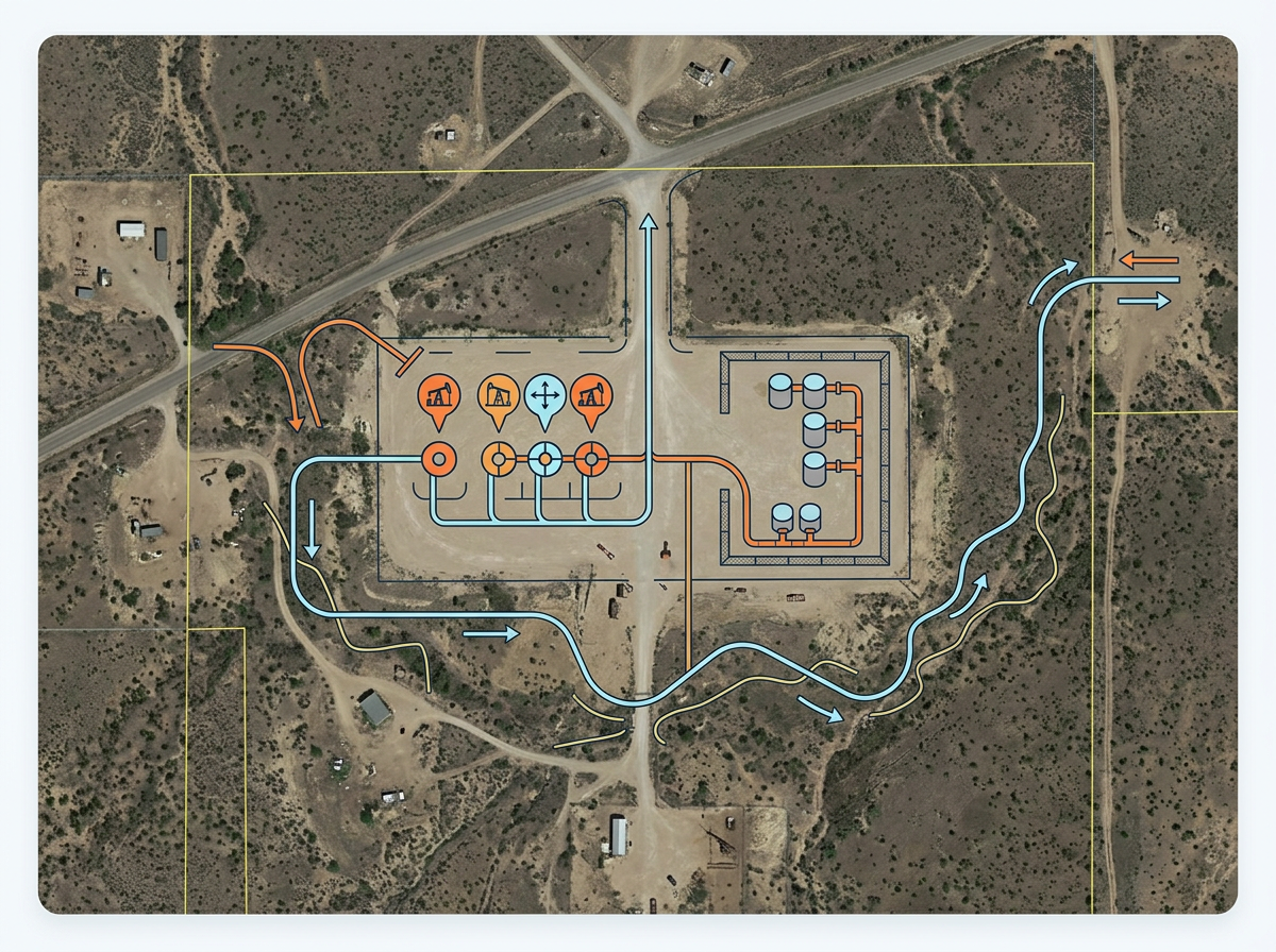
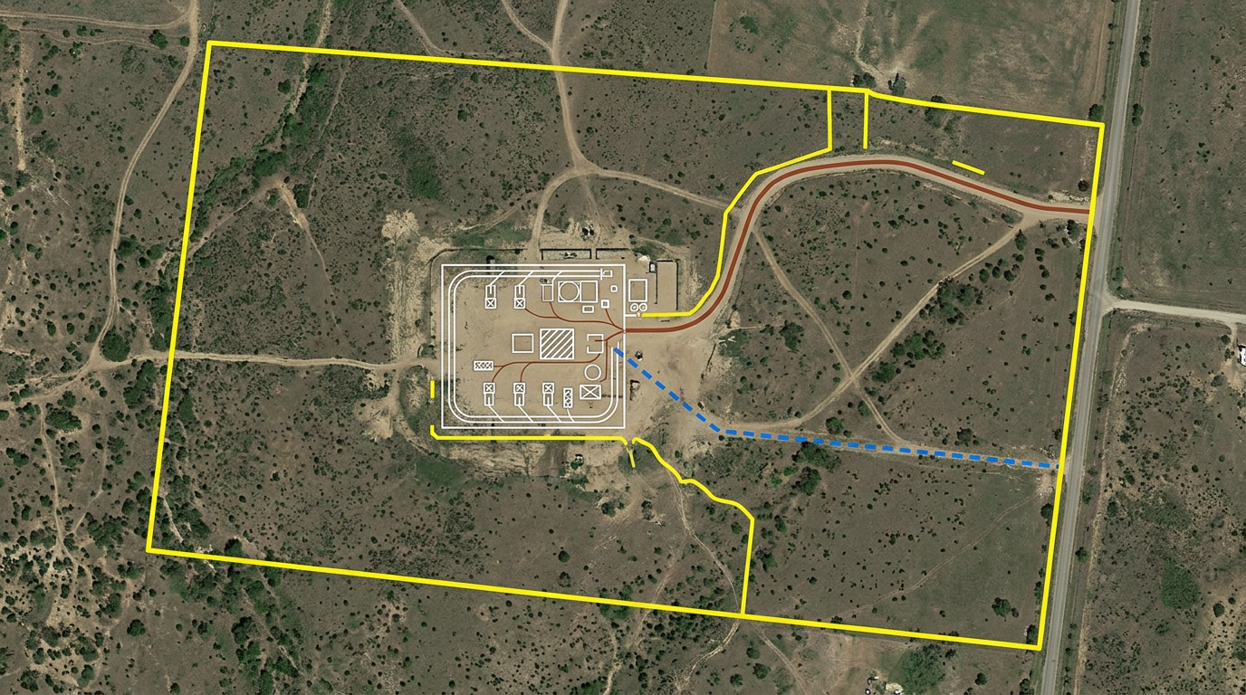
Sketch a pad layout on a candidate site, mark wellheads, tank batteries and gathering line routes for the build crew.
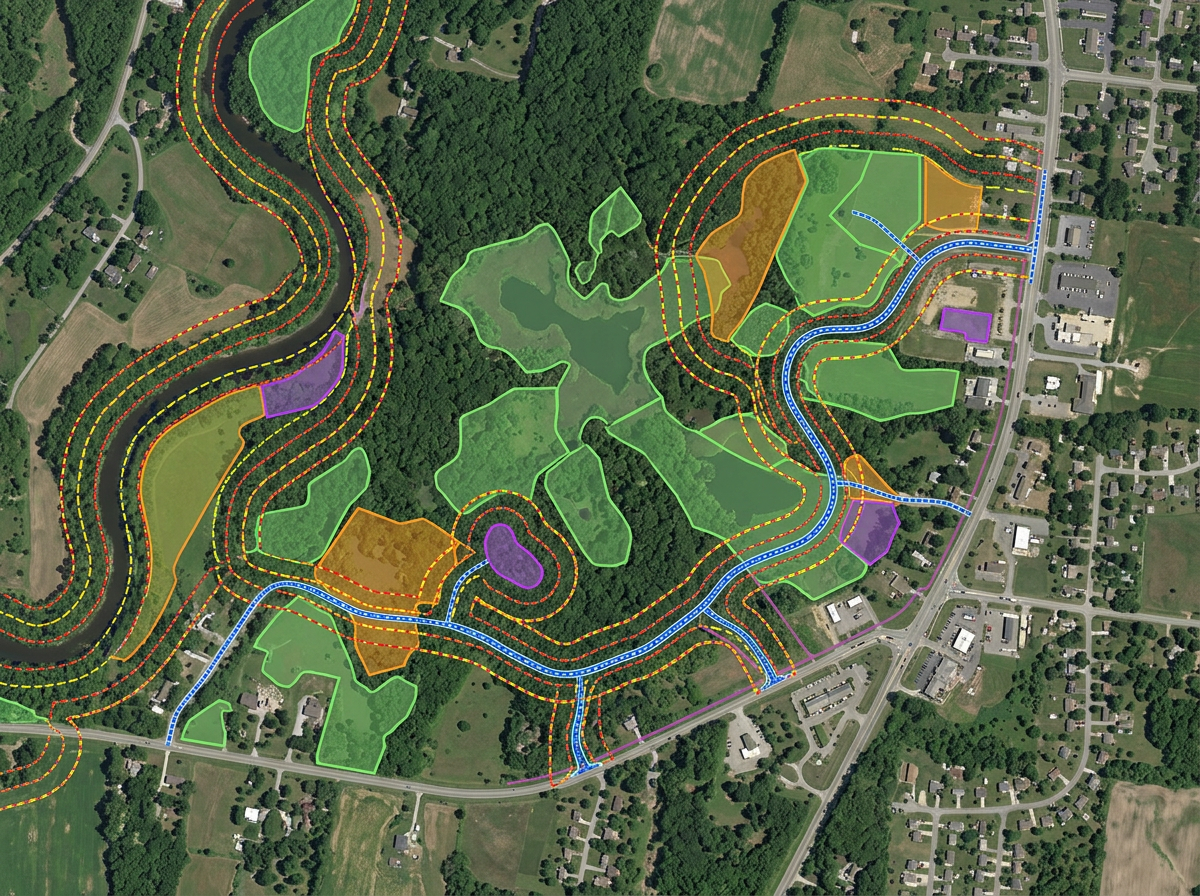
Build environmental and permitting exhibits showing setbacks, sensitive areas and access routes for regulators.
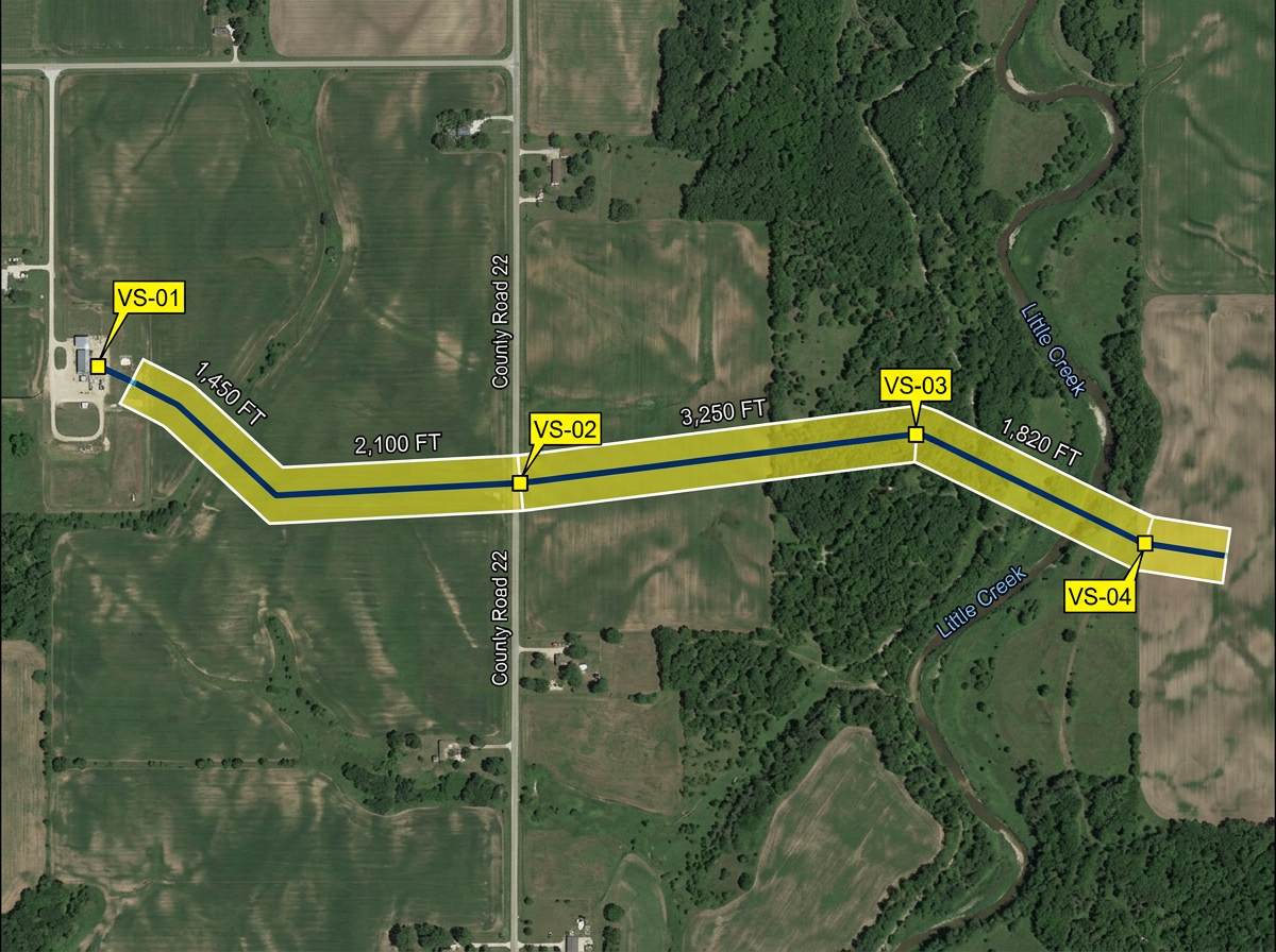
Sketch pipeline routes, valve sites and ROW corridors for engineering, safety and landowner meetings.
Scribble AI
告訴Scribble AI您需要什麼。試試「在每個地點周圍繪製500m緩衝區」、「匯入此CSV並依狀態著色」或「測量從倉庫到每個停靠點的路線」。幾秒鐘就能完成。無需GIS訓練,您的團隊也能取得同一張可直接分享的地圖。
試用Scribble AI →★ ★ ★ ★ ★“What I appreciate most about Scribble Maps is its intuitive interface and versatility. It enables me to easily draw, label, and personalize maps without needing advanced GIS expertise.”
★ ★ ★ ★ ★“Gives us the ability to mark areas on maps that may be hard to find for our subcontractors. Some of our work areas are not necessarily a designated address, rather it is an area.”
Yes. Import KML, Shapefile, GeoJSON or CSV. Lease blocks, parcels and existing infrastructure drop directly onto the map.
Yes. Click Share, copy the link and email or text it. Landowners open it in any browser. No install, no account.
Yes. Scribble Maps supports private maps, password protection and AES-256 encryption.
Yes. Export any map to PDF, PNG, KML or GeoJSON for inclusion in regulatory or permitting packets.
Yes. Enter a U.S. Public Land Survey System (PLSS) legal description in search to preview and add the matching BLM reference boundary. This is available with Pro Business and is for mapping reference only, not a legal survey.