

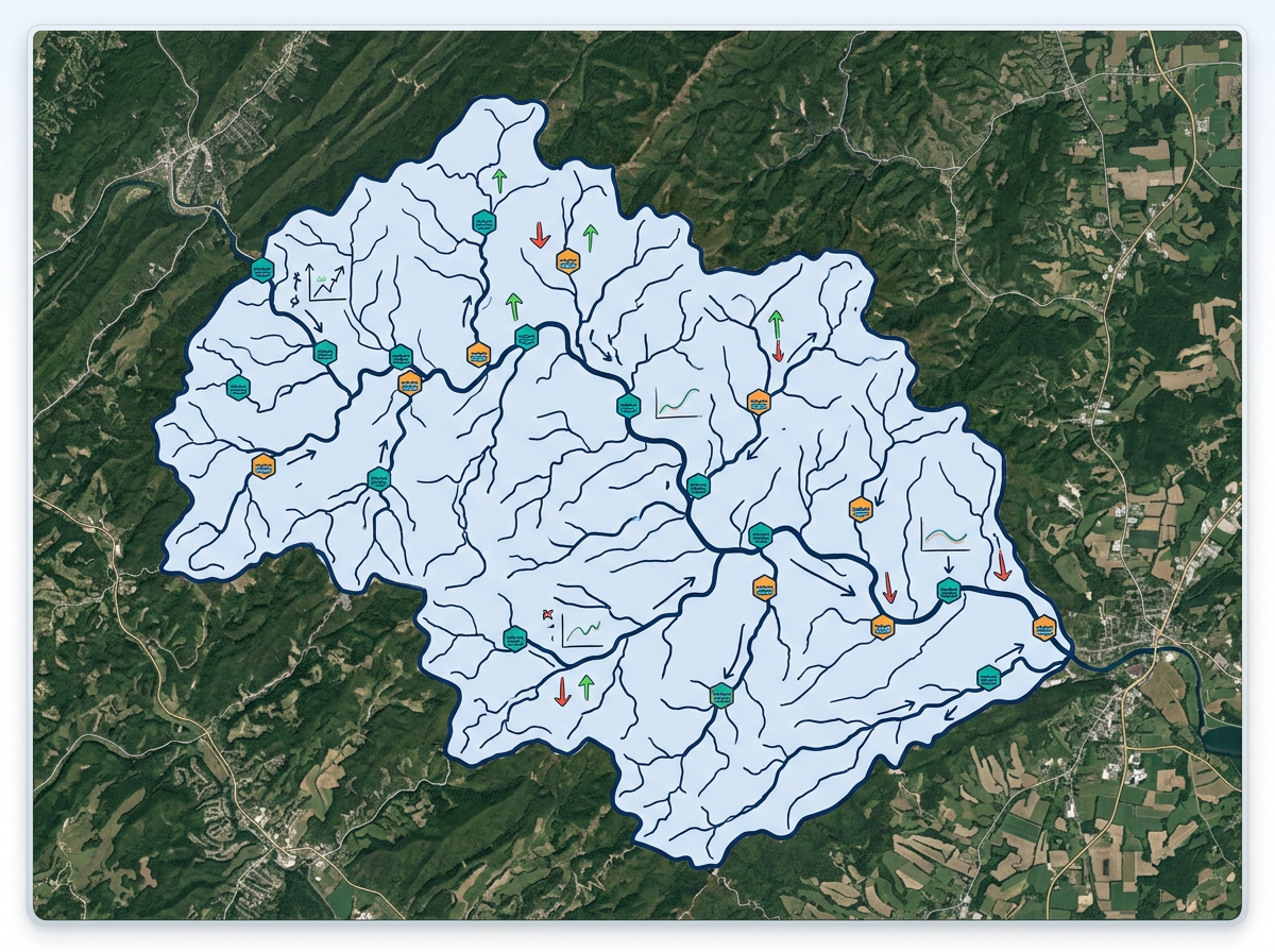
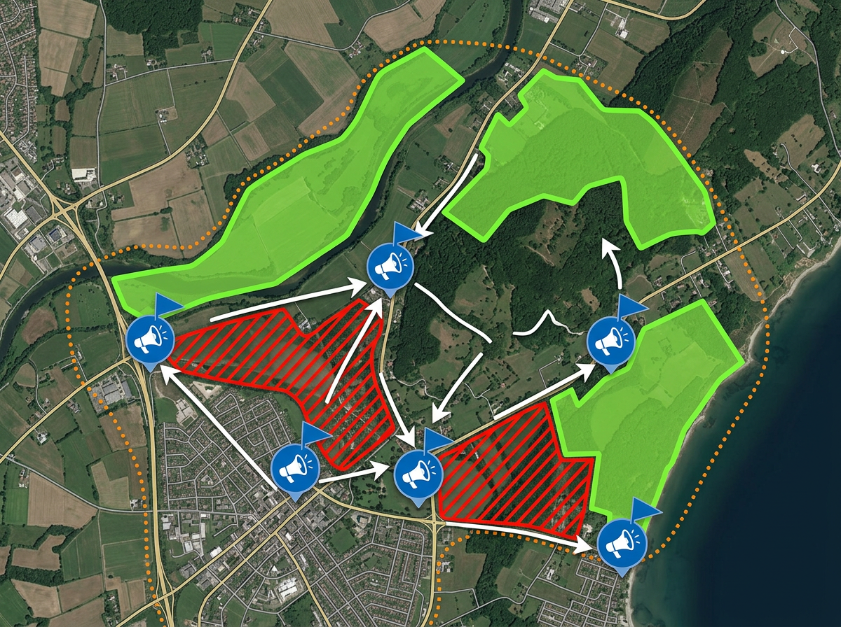
Watershed and stream mapping
Draw watershed boundaries, plot stream segments and mark monitoring stations for coalition meetings and grant applications.
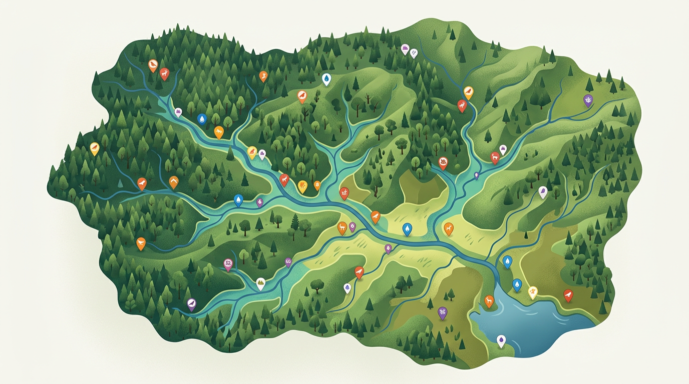
Map watersheds, plot habitat surveys, run citizen-science projects and build advocacy maps. Free for individuals and small teams who want to make conservation visible.
 4.7 / 5 · 200 reviews on G2
★ ★ ★ ★ ★“It has tools that are very easy to navigate. There are tutorials that you can access on helping to use the maps. I am finding it very useful in what I need it for.”
Sketch habitat polygons, watershed boundaries and survey routes on real satellite imagery. No GIS training required.
Send a clickable conservation map to volunteers, donors or board members. They open it in a browser. No install.
Import a CSV of survey points, KML of existing reserves or GeoJSON of public datasets. Layer it all on one shared map.
Draw watershed boundaries, plot stream segments and mark monitoring stations for coalition meetings and grant applications.
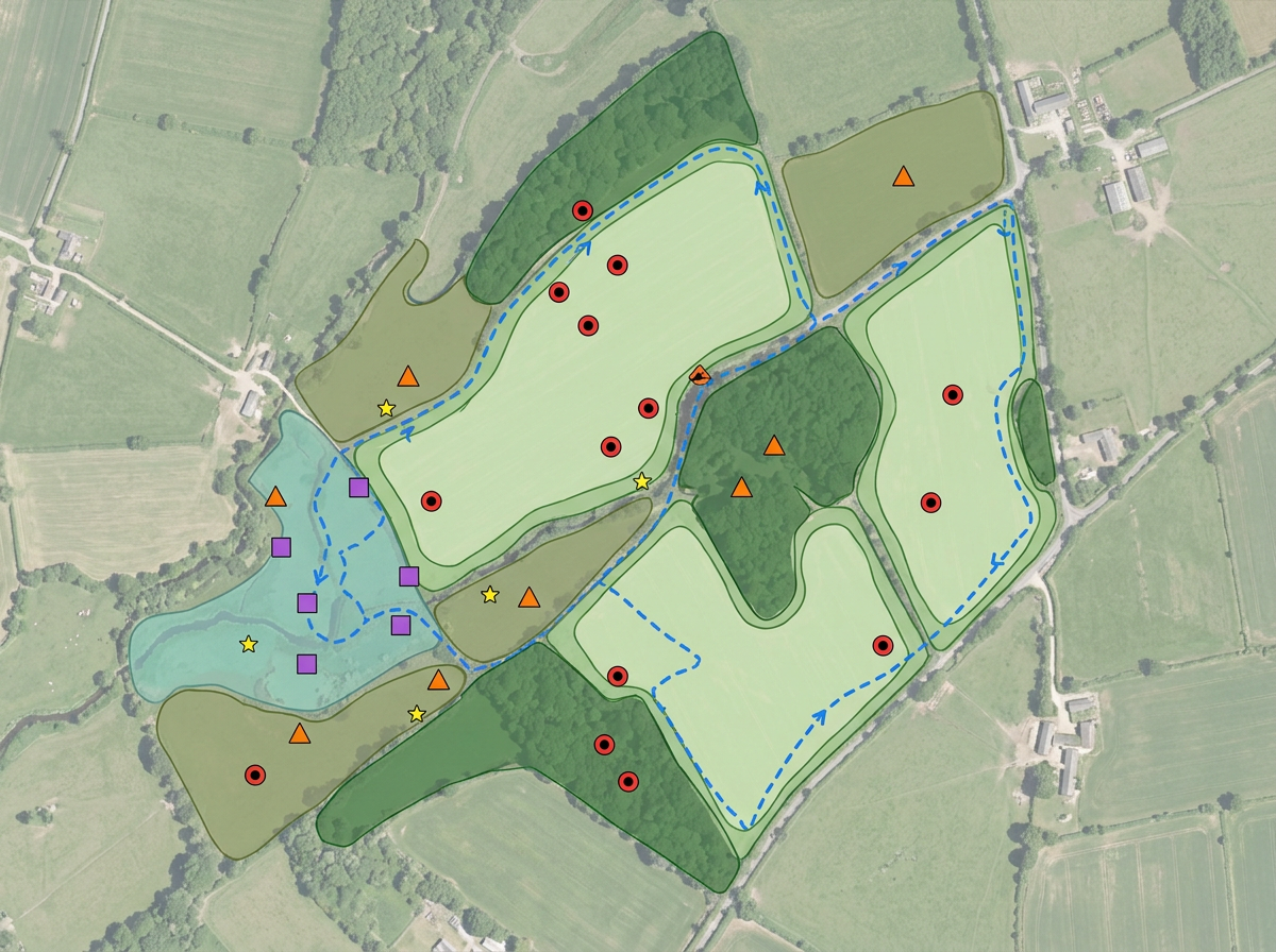
Plot species observations, mark habitat polygons and share with volunteer surveyors and partner organizations.
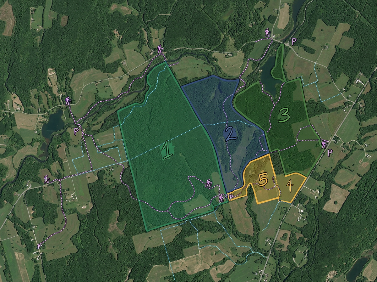
Map preserves, easements and conservation lands. Share with donors, members and partner agencies.
Build advocacy maps for permitting decisions, public hearings and donor briefings. Publish on your campaign website.
Scribble AI
Tell Scribble AI what you need. Try “draw a 500m buffer around every site,” “import this CSV and color by status,” or “measure the route from the depot to each stop.” It does it in seconds. No GIS training needed, and your team gets the same map, ready to share.
Try Scribble AI →★ ★ ★ ★ ★“It has tools that are very easy to navigate. I am finding it very useful in what I need it for.”
★ ★ ★ ★ ★“Back in the day with paper maps, I always enjoyed marking places I'd explored on bike or on foot with a highlighter pen. I'd never found a similar system for online maps till I found this site.”
Yes. Scribble Maps is free for individuals and small teams. See the pricing page for larger imports, private maps and advanced tools.
Yes. Paste from a spreadsheet or import a CSV. Every observation geocodes onto the map in one pass.
Yes. Generate an embed code and paste it into your conservation site. Visitors can pan, zoom and toggle layers without leaving the page.
Yes. Click Share, copy the link and text it to the team. They open it on a phone. No install, no account.