 English
 Español
 Français
 Deutsch
 Português
 日本語
日本語
 中文
中文
 العربية
 한국어
한국어
 Italiano
 Русский
 Türkçe
 Nederlands
 Polski
 हिन्दी
 Dansk
Dansk
 Čeština
 Română
 Ελληνικά
 Tiếng Việt
 Suomi
Suomi


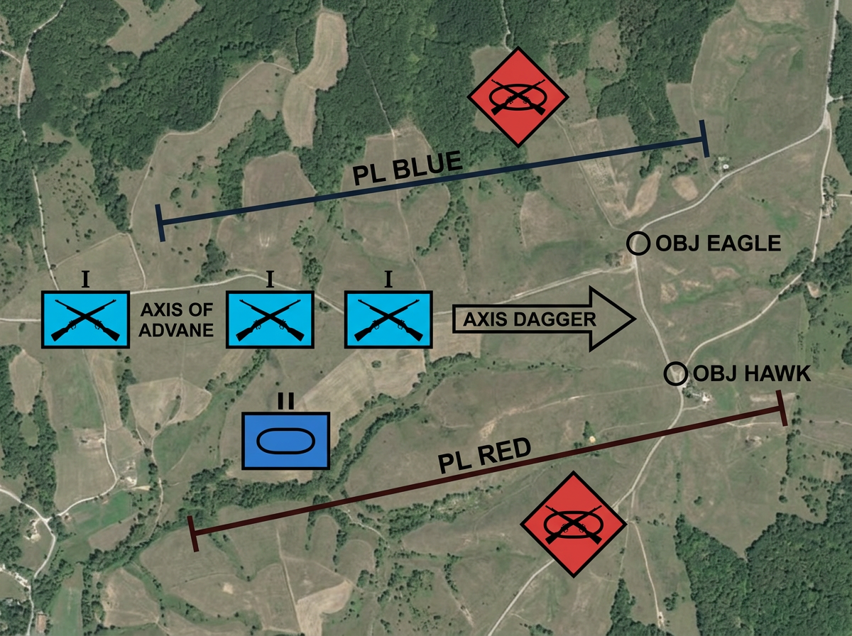
Operations orders and overlays
Build OPORD graphics with phase lines, objectives, and unit positions. Mark friendly forces in blue, hostile in red, and neutral in green. Share the overlay for mission briefs.

Build overlays with MIL-STD-2525D and NATO APP-6 symbols. Drop unit markers, draw control measures, and share the plan by link. Teams view it on any device.
★ ★ ★ ★ ★“Scribble Maps is one of the only software available that lets you make a fully customizable map.”
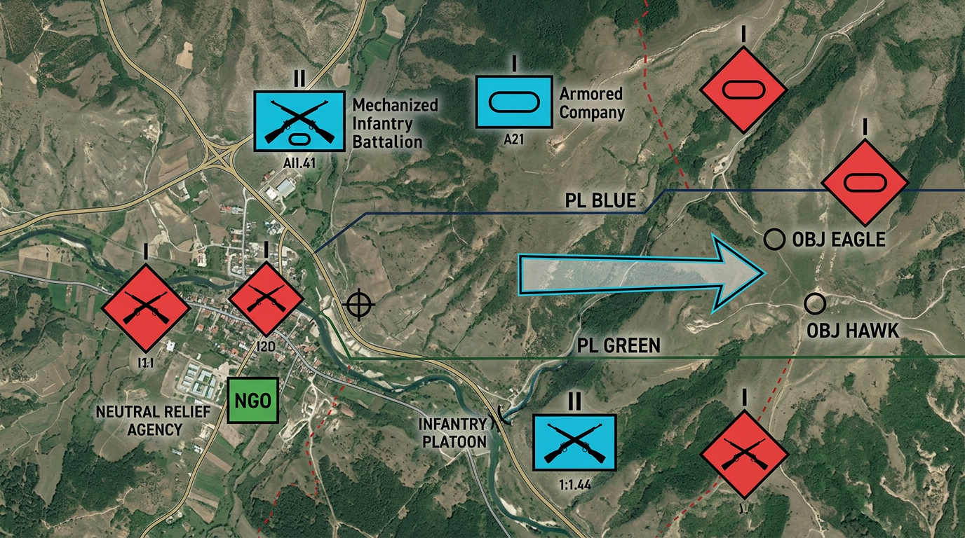
Drop MIL-STD-2525D and NATO APP-6 symbols on the map. Infantry, armor, aviation, naval units, and more. Pick affiliation, echelon, and status from a menu.
Share the overlay by link. Teams open it on a laptop, tablet, or phone. No install and no account required. Everyone sees the same picture.
Import KML, GeoJSON, or CSV. Layer terrain data, routes, and boundaries under the tactical symbols. Build a complete picture from multiple sources.
Build OPORD graphics with phase lines, objectives, and unit positions. Mark friendly forces in blue, hostile in red, and neutral in green. Share the overlay for mission briefs.
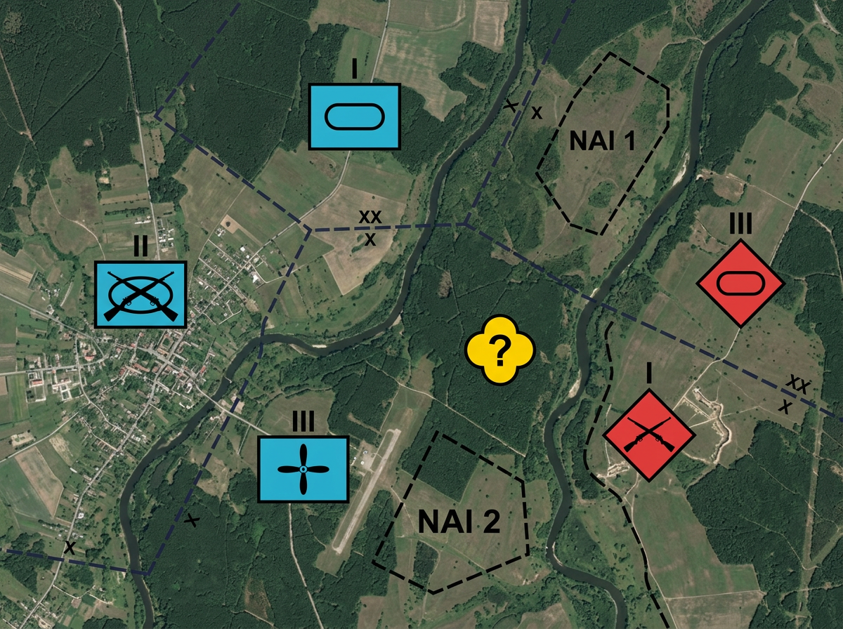
Create a shared view of the battlespace. Mark known positions, suspected locations, and areas of interest. Update the map and everyone sees the change.
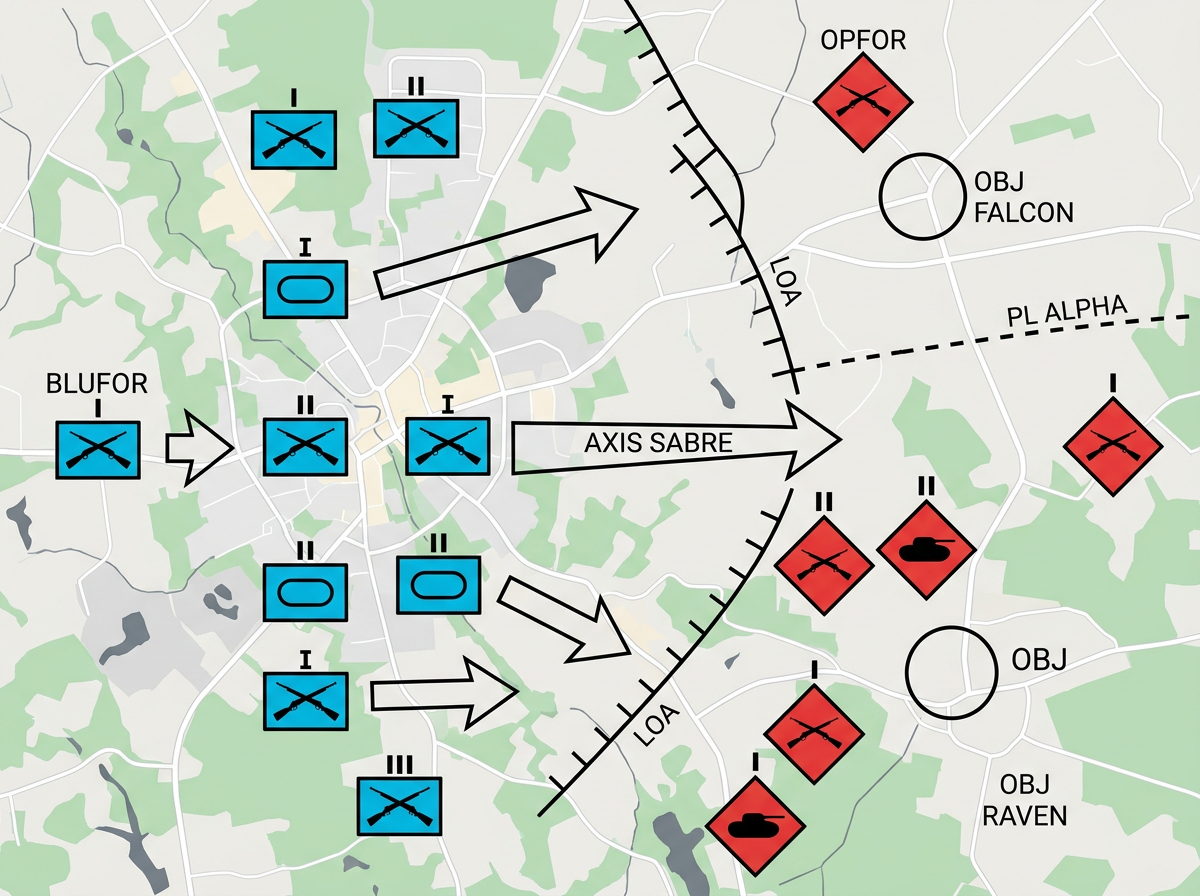
Set up tabletop exercises with realistic symbols. Walk through maneuvers, test plans, and capture lessons learned. Reset and run again.
Scribble AI
Tell Scribble AI what you need. Try “draw a 500m buffer around every site,” “import this CSV and color by status,” or “measure the route from the depot to each stop.” It does it in seconds. No GIS training needed, and your team gets the same map, ready to share.
Try Scribble AI →Scribble Maps supports MIL-STD-2525D and NATO APP-6 symbology. You can place symbols for land, sea, air, space, and subsurface units with full affiliation and echelon options.
No. Scribble Maps is a commercial cloud product for unclassified use. Use it for training, exercises, public affairs, and unclassified planning.
No. Pick a symbol category, choose the unit type, and set the affiliation. The symbol appears on the map ready to move and resize.
Yes. Share a link and anyone can view the map in a browser. No account, no install, and no training needed.
Yes. Import KML, GeoJSON, Shapefile, or GPX. Layer your data under the tactical symbols and build a complete picture.