 English
 Español
 Français
 Deutsch
 Português
 日本語
日本語
 中文
中文
 العربية
 한국어
한국어
 Italiano
 Русский
 Türkçe
 Nederlands
 Polski
 हिन्दी
 Dansk
Dansk
 Čeština
 Română
 Ελληνικά
 Tiếng Việt
 Suomi
Suomi


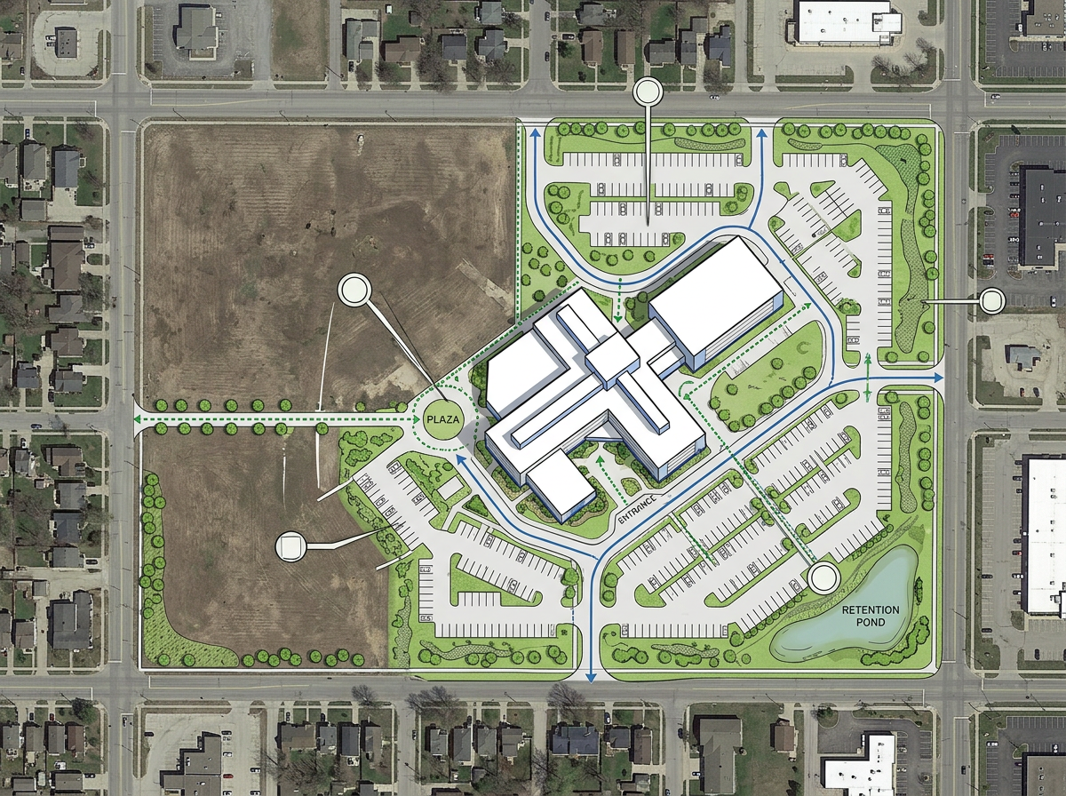
Site development visualization
Show proposed buildings, landscaping, and infrastructure on the actual site. Stakeholders see how the project fits the land before construction begins.

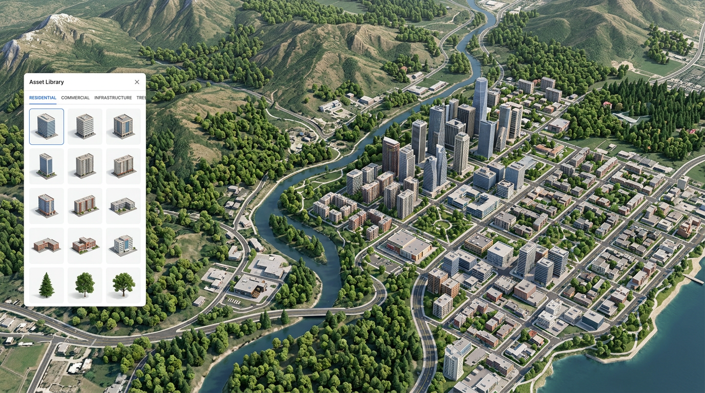
Position 3D models on satellite or terrain maps. Upload your own models, generate them with AI, or stamp them onto the landscape. Share interactive 3D views by link.
★ ★ ★ ★ ★“Scribble Maps is one of the only software available that lets you make a fully customizable map.”
Drop 3D models onto satellite, terrain, or street maps. Rotate, scale, and adjust height. Build scenes that match real locations.
Bring your own 3D models in common formats. Or describe what you need and let AI generate a model for you in seconds.
Send a link and viewers explore the scene in 3D. Orbit, pan, and zoom. No software to install and no account required.
Show proposed buildings, landscaping, and infrastructure on the actual site. Stakeholders see how the project fits the land before construction begins.
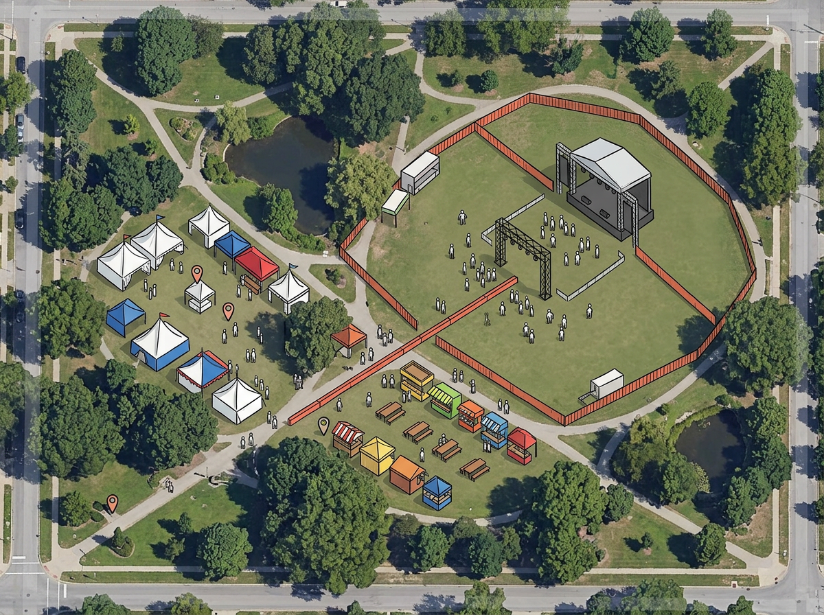
Plan festivals, markets, or outdoor events with 3D tents, stages, and booths. Walk through the layout virtually before setup day.
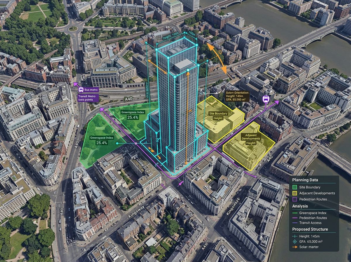
Place proposed structures in existing neighborhoods. Show height, shadow, and context so planners and residents understand the impact.
Scribble AI
Tell Scribble AI what you need. Try “draw a 500m buffer around every site,” “import this CSV and color by status,” or “measure the route from the depot to each stop.” It does it in seconds. No GIS training needed, and your team gets the same map, ready to share.
Try Scribble AI →You can upload GLB, GLTF, OBJ, and FBX files. GLB and GLTF work best for web viewing. Large files may take a moment to load.
Describe what you need or upload a photo. The AI generates a 3D model you can place on the map. Generation takes a few seconds.
Stamping places a model flat against the terrain surface. The model follows the ground elevation instead of floating at a fixed height.
Yes. Anyone with the link can orbit, pan, and zoom the scene in 3D. They do not need an account or any software to install.
Yes. Export high-resolution images for slides or share the interactive link directly. Viewers see the scene on any device.