
 English
 Español
 Français
 Deutsch
 Português
 日本語
日本語
 中文
中文
 العربية
 한국어
한국어
 Italiano
 Русский
 Türkçe
 Nederlands
 Polski
 हिन्दी


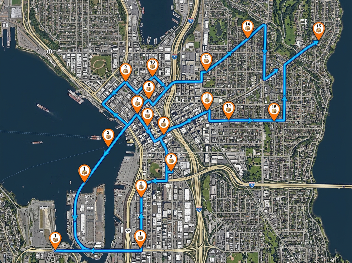
Driver route planning
Plan a day of stops in the order you want them. Share the route on the driver's phone so they can see every stop and follow the line.
Map your full network of depots, warehouses and customer sites. Plan driver routes and share them on the team's phones. Free to start.
 4.7 / 5 · 200 beoordelingen op G2
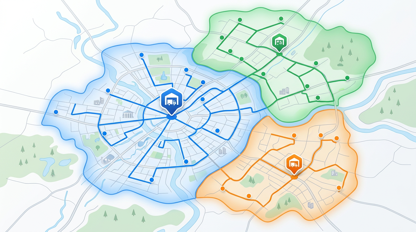
★ ★ ★ ★“We used scribble maps for route planning for our logistics requirement and the ease of use was fantastic. Also helped in saving time in creating presentations.”
Sketch driver routes on a real satellite or street view. Drop stops in order and label each one. No GIS training needed.
Drop in a CSV of depots, warehouses and customer addresses. Each row is geocoded and dropped on the map in one pass.
Share the route with drivers on their phones. They open it in any browser with our Lite mobile web app at lite.scribblemaps.com. No installs and no logins.
Plan a day of stops in the order you want them. Share the route on the driver's phone so they can see every stop and follow the line.
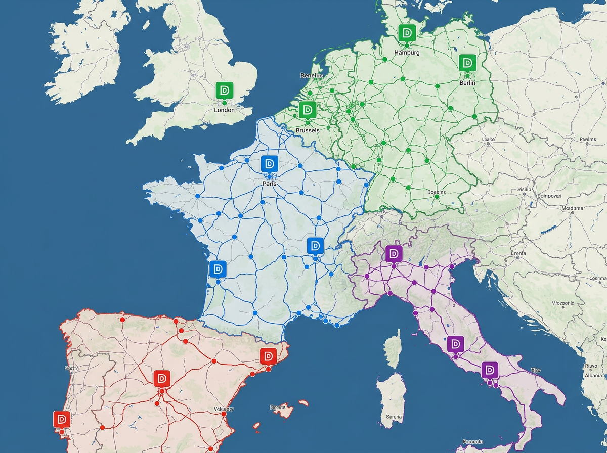
Plot every depot, warehouse and cross-dock on one map. Color them by region or capacity so the team can see the network at a glance.
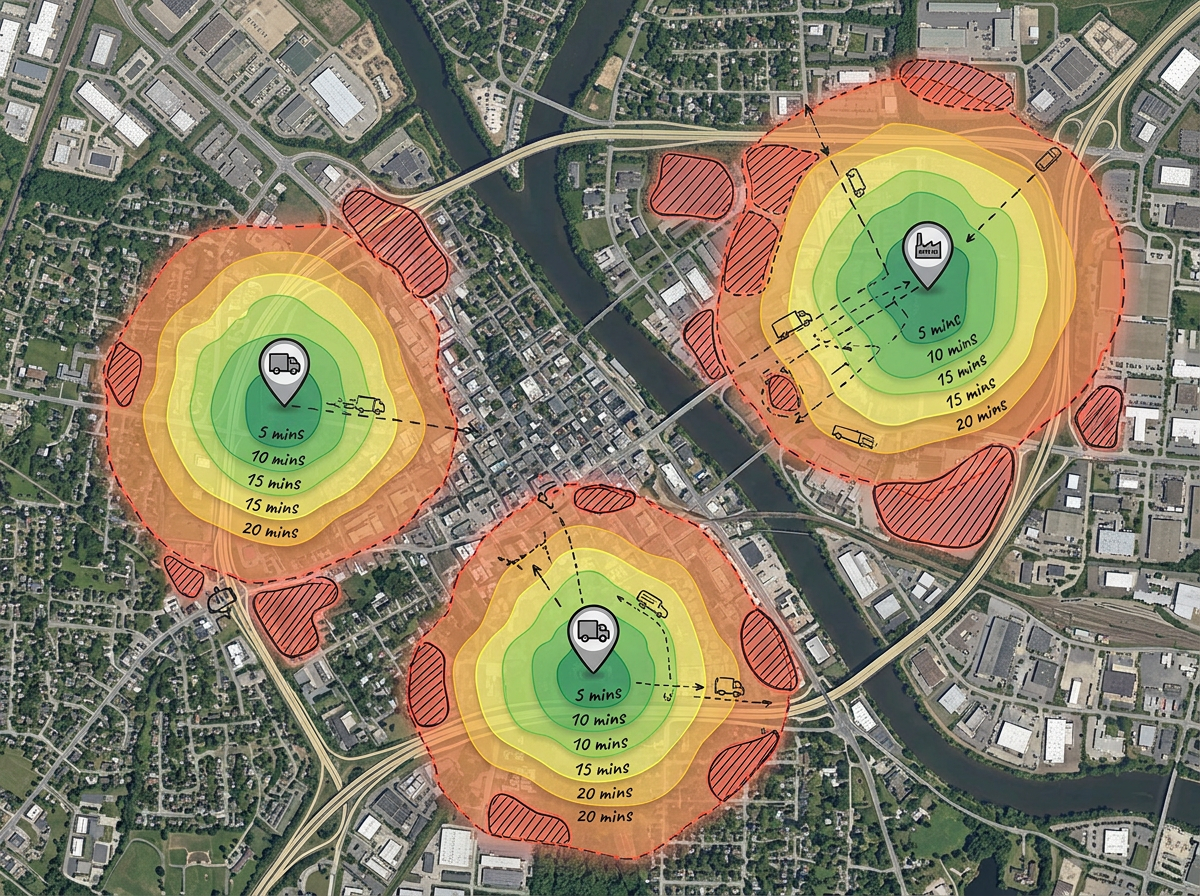
Draw the service area for each depot. Use travel-time zones to find gaps and avoid overlap between hubs.
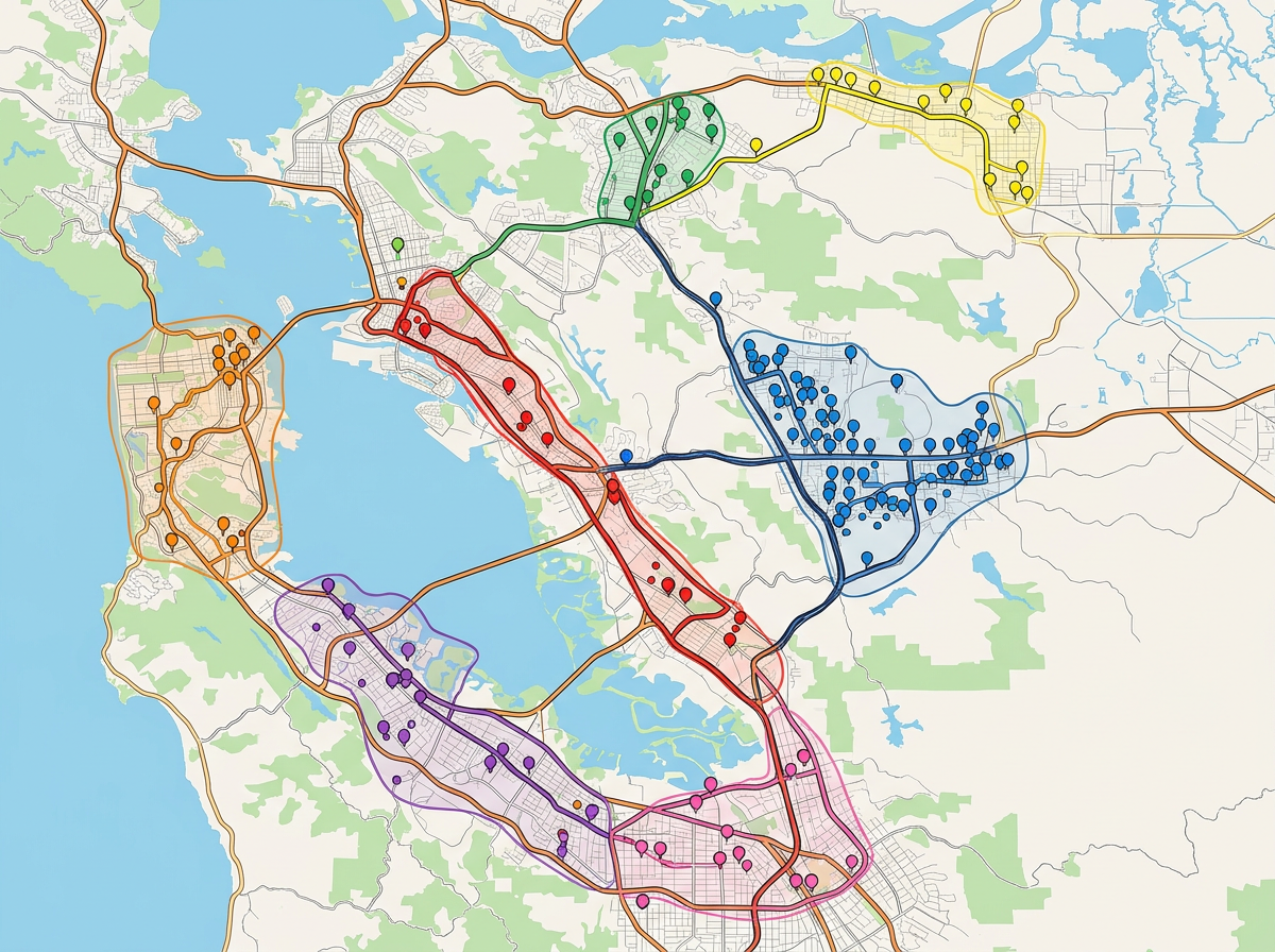
Import a CSV of customer addresses and drop them on the map. Group them by route, region or priority and share the view with sales or ops.
Scribble AI
Vertel Scribble AI wat je nodig hebt. Probeer “teken een buffer van 500 meter rondom elke locatie,” “importeer dit CSV-bestand en kleur op status,” of “meet de route van het depot naar elke stop.” Het is in seconden klaar. Geen GIS-training nodig, en je team krijgt dezelfde kaart, klaar om te delen.
Probeer Scribble AI →★ ★ ★ ★“We used scribble maps for route planning for our logistics requirement and the ease of use was fantastic.”
★ ★ ★ ★“The features of drawing maps, highlighting certain areas, customisation according to the need and no limit on size of the map.”
★ ★ ★ ★ ★“I plot apartment communities our company has over 18 states. This visual helps when I make presentations and helps demonstrate the balance of properties.”
Yes. Drop in a CSV with addresses or coordinates. Each row is geocoded and dropped on the map in one pass.
Yes. Share a link or use our Lite mobile web app at lite.scribblemaps.com. Drivers open the route in any browser. No app store install.
Yes. Use travel-time isochrones to draw a fair coverage zone for each hub. Spot the gaps and the overlaps in seconds.
Yes. Scribble Maps is free for individuals and small teams. See the pricing page for larger imports, private maps and admin controls.
Yes. Export to PDF or PNG for slides, or to KML and GeoJSON for handing data off to another tool.