

Hiking and outdoor adventures
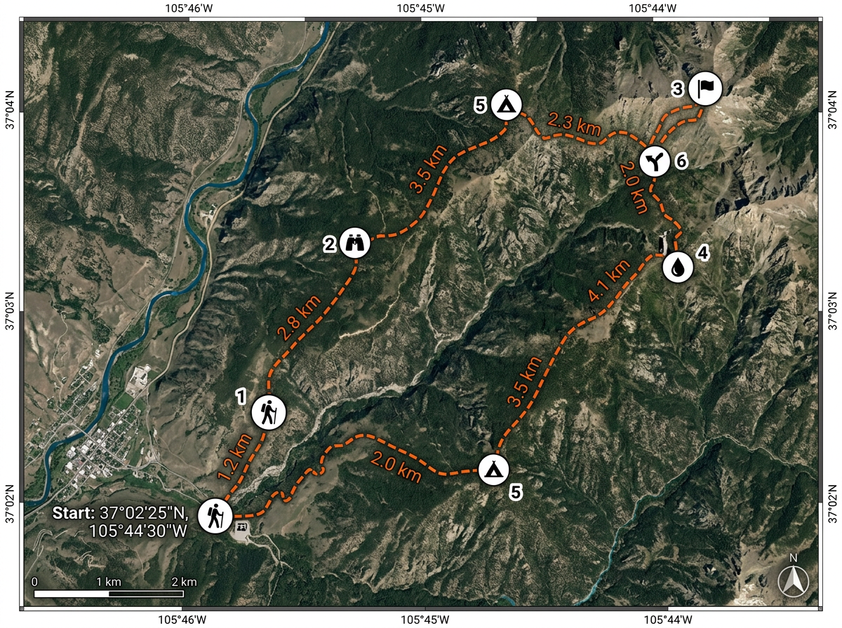
Draw a trail on terrain or satellite imagery, measure distances, mark waypoints and share the route with your hiking group before you set out.
Plot hiking trails, plan road trips, mark favorite fishing spots or map out your family history. Scribble Maps is free to use, runs in any browser, and needs no signup to get started.
 4.7 / 5 · 200 reviews on G2
★ ★ ★ ★ ★“I'm definitely making my life easier by being able to map out what I need.”
Sketch a hiking trail, plan a road trip route or outline your property boundary on a real satellite or terrain map. No GIS skills needed.
Send a clickable link so anyone can view your map on any device. Embed it on a blog or print it for your next trip.
Drop markers for campsites, fishing holes, bird-watching spots, historical sites or anything you want to remember and revisit.
Have a spreadsheet of places you want to visit? Import a CSV and every row lands on the map, geocoded and ready to explore.
Draw a trail on terrain or satellite imagery, measure distances, mark waypoints and share the route with your hiking group before you set out.
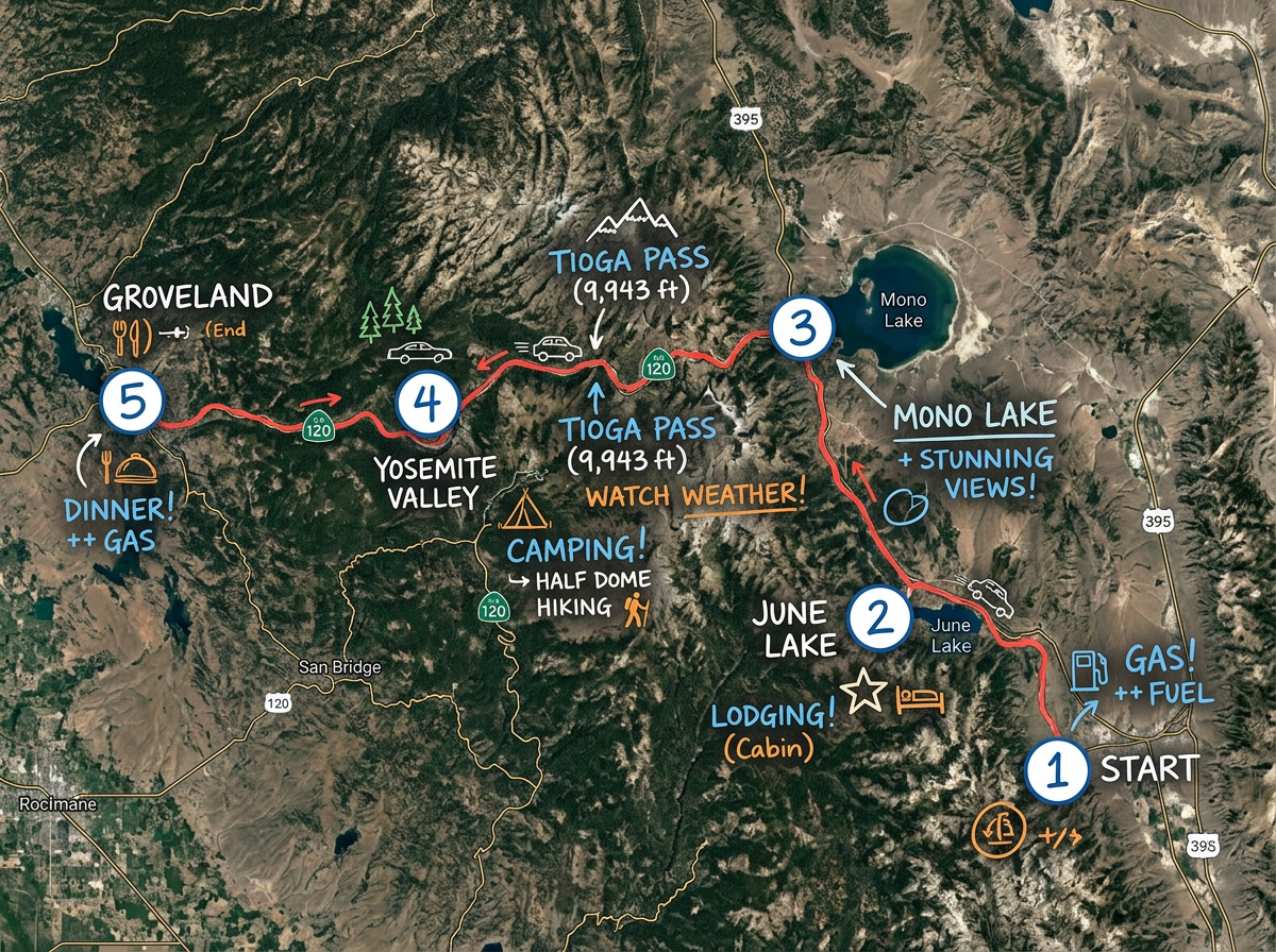
Plot every stop on your road trip, add notes for lodging and fuel, measure driving distances and share the itinerary with travel companions.
Mark cache locations, plan search routes and share hunt maps with friends. Bring the map with you on your phone at lite.scribblemaps.com.
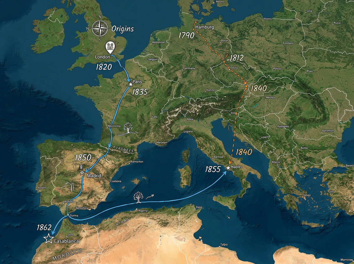
Map out where your ancestors lived, plot migration routes and label key dates. Share the map with relatives to build the story together.
Scribble AI
Tell Scribble AI what you need. Try “draw a 500m buffer around every site,” “import this CSV and color by status,” or “measure the route from the depot to each stop.” It does it in seconds. No GIS training needed, and your team gets the same map, ready to share.
Try Scribble AI →★ ★ ★ ★ ★“I'm definitely making my life easier by being able to map out what I need.”
★ ★ ★ ★ ★“Do not search more, I already searched for the past 7 years, tried lots of other options and this is the one that I always come back to.”
★ ★ ★ ★ ★“The user interface is easy. I spent hours trying different map software and all other maps were too difficult to use.”
Yes. The free plan gives you five saved maps, drawing tools and image export. No credit card and no signup to start.
No. Scribble Maps runs entirely in your browser. Open the editor and start drawing immediately.
Yes. The full editor works on any modern browser. For field use, try our Lite mobile web app at lite.scribblemaps.com.
Yes. Click Share, copy the view-only link and send it. Anyone can open the map in a browser without an account.
You can export maps as PNG images, PDF documents, KML, GeoJSON, CSV and more. The free plan supports 450x450px image export.
Yes. Paste or upload a CSV with addresses or coordinates. Each row is geocoded and placed on your map automatically.